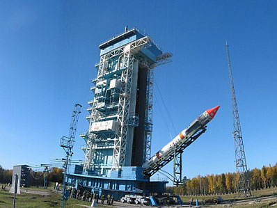
COSMOS 736 (07825)

COSPAR: 1975-045E | Alt Name: Kosmos-736

Image
COSMOS 736 Satellite Image
Additional Sources
Launch Details

Launch Date

May 28, 1975

Launch Site

PLMSC

Launch Pad

LC132/1

Launch Vehicle

Kosmos 11K65M

Orbital Elements

NORAD ID

07825

International Designator

1975-045E

Epoch

Sun, 19 Jul 2026 20:37:32 GMT

Apogee

Calculating...

Perigee

Calculating...

Inclination

74.02°

Right Ascension

47.00°

Eccentricity

Calculating...

Argument of Perigee

82.54°

Period

115.49 min

Mean Motion

12.47 rev/day

Latitude

Calculating...

Longitude

Calculating...

Altitude

Calculating...

Velocity

Calculating...

Polar Plot
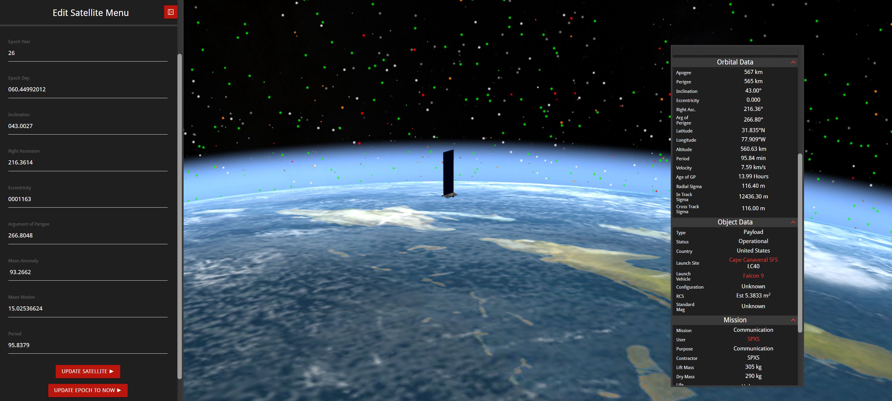
3D Visualization
Basic Satellite Info

Name

COSMOS 736

Alternative Name

Kosmos-736

Type

Payload

Status

Unknown

Owner

GUKOSR

Country

USSR

Constellation

N/A

Related Satellites

Major Events

N/A

Latest TLEs
1 07825U 75045E   26200.85939865 -.00000015  00000+0  65209-5 0  9999
2 07825  74.0160  47.0026 0010353  82.5388 289.0145 12.46889391328011

Source: Celestrak

Summary

Apologies, there is no summary for this satellite yet. I am working to generate these for every object in the catalog, but it is going to take time.

Physical Characteristics

Length

0.8

Diameter

0.8

Span

0.8

Dry Mass

60

Launch Mass

60

Shape

Poly

Radar Cross Section

0.6701

Visual Magnitude

Unknown

Color

Unknown

Material Composition

Unknown

Technical Details

Payload

Strela-1M Blok 12 No. 5

Purpose

Military Communication

Mission

Military Communication

Manufacturer

OKB10

Life Expectancy

6 months

Bus

Strela-1 11F625

Configuration

Unknown

Motor

Unknown

Equipment

Unknown

Power System

Solar cells, batteries

ADCS

Unknown

Transmitter Frequency

Unknown

Map
This tool will help you track the satellite's position and predict its upcoming passes over your location. Simply input the coordinates or click the geolocation button to get started.
Next Pass
Azimuth Elevation Time (Local)
Start Azimuth
Max Elevation
Stop Azimuth
Time Until
Pass Duration

Satellite Articles

View All Posts »

Learn more about satellites and other related topics.

Space Force Awards Pulse Space $40M for Laser Power Tech | KeepTrack Space Brief

Space Force Awards Pulse Space $40M for Laser Power Tech | KeepTrack Space Brief

Space Force awards Pulse Space $40 million to develop laser systems for transmitting power and data between spacecraft in orbit. Game-changing on-orbit energy transfer capability.
Starship V3 Debut Slips as Booster 19 Rolls to Pad 2 | KeepTrack X Report

Starship V3 Debut Slips as Booster 19 Rolls to Pad 2 | KeepTrack X Report

Starship V3's maiden flight is delayed as SpaceX rolls Booster 19 to Pad 2 for Flight 9, while Falcon 9 completes its 30th mission of 2026.

Space Brief 26 Jan 2025

Space Brief 26 Jan 2025

Spacewalks have resumed on the ISS, while Blue Origin prepares for a unique New Shepard mission. In other news, astronomers push for a ban on space ads and potential budget cuts threaten the JWST.

Two-Line Element Set (TLE)

Two-Line Element Set (TLE)

The compact data format that describes every tracked satellite orbit in just two lines of text, and how to read it

SpaceX Plans Three Launches This Week Including ISRO Rideshare | KeepTrack X Report

SpaceX Plans Three Launches This Week Including ISRO Rideshare | KeepTrack X Report

SpaceX targets three launches this week including a rideshare mission with India's ISRO into Sun-Synchronous Orbit. Starlink network continues expanding with ongoing satellite deployments.

Space Brief 13 Jan 2025

Space Brief 13 Jan 2025

Today's brief covers Blue Origin's launch delay, SpaceX's upcoming Starlink mission, and highlights the YAOGAN-43 O1C satellite.

Space Brief 26 Jun 2025

Space Brief 26 Jun 2025

Exploring new defense agreements with Eutelsat, advances in U.S. Space Force projects, and updates on NATO's strategic discussions.

The Satellite That Taught Us What We Were Doing to the Planet

The Satellite That Taught Us What We Were Doing to the Planet

Landsat 7 launched on April 15, 1999, designed to last five years. It operated for twenty-five, survived a failure that destroyed a fifth of every image it took, and became part of the longest continuous record of Earth's surface ever assembled. Then they made the data free.