


The Day Apollo 14 Restored NASA's Lunar Dreams
Fifty-four years ago, a Saturn V rocket lifted off carrying three astronauts determined to prove America could still reach the Moon after the near-disaster of Apollo 13


Launch Date
November 28, 2025
Launch Site
AFWTR
Launch Pad
SLC4E
Launch Vehicle
Chang Zheng 3B
NORAD ID
66755
International Designator
2025-276CT
Epoch
Sun, 19 Jul 2026 17:32:39 GMT
Apogee
Calculating...
Perigee
Calculating...
Inclination
97.42°
Right Ascension
271.92°
Eccentricity
Calculating...
Argument of Perigee
209.23°
Period
95.35 min
Mean Motion
15.10 rev/day
Latitude
Calculating...
Longitude
Calculating...
Altitude
Calculating...
Velocity
Calculating...
Name
ICEYE-X62
Alternative Name
N/A
Type
Status
Owner
ICEYE
Country
Poland
Constellation
N/A
Related Satellites
Major Events
N/A
1 66755U 25276CT 26200.73101225 .00002322 00000+0 14601-3 0 9995
2 66755 97.4184 271.9207 0001115 209.2257 150.8910 15.10172118 35242
Source: Celestrak
Apologies, there is no summary for this satellite yet. I am working to generate these for every object in the catalog, but it is going to take time.
Length
0.8
Diameter
0.6
Span
1.5
Dry Mass
120
Launch Mass
120
Shape
Box + pan
Radar Cross Section
Unknown
Visual Magnitude
Unknown
Color
Unknown
Material Composition
Unknown
Payload
ICEYE-X62
Purpose
Unknown
Mission
Unknown
Manufacturer
ICEYE
Life Expectancy
Unknown
Bus
ICEYE
Configuration
Unknown
Motor
Unknown
Equipment
Unknown
Power System
Unknown
ADCS
Unknown
Transmitter Frequency
Unknown
Learn more about satellites and other related topics.
Fifty-four years ago, a Saturn V rocket lifted off carrying three astronauts determined to prove America could still reach the Moon after the near-disaster of Apollo 13
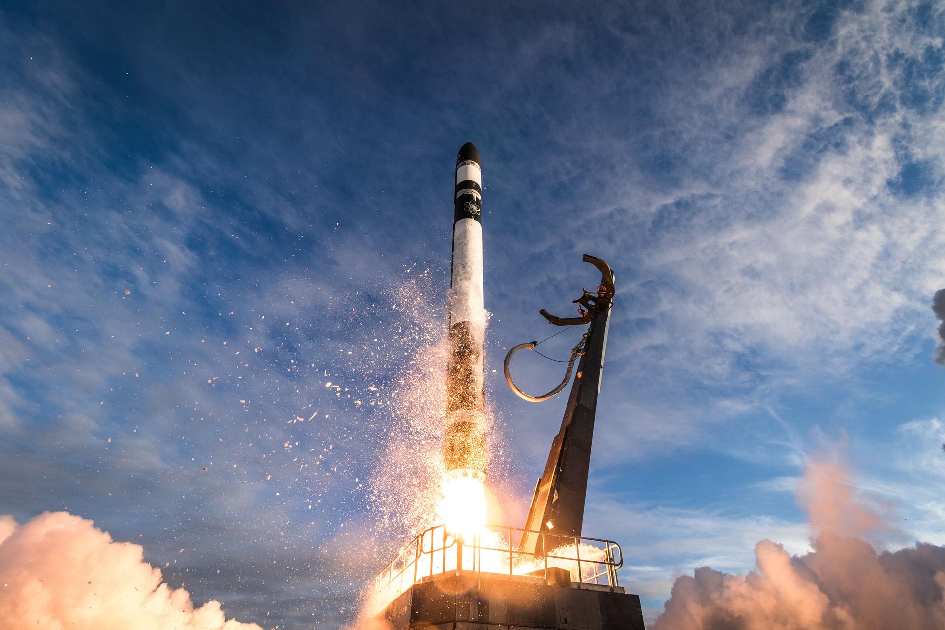
Today's Space Brief covers pivotal updates in military space capabilities, defense acquisitions, the UK's nuclear enhancements, and Boeing's financial challenges.

Elon Musk confirms Starship V3 tower catch attempt plans with SN1 headed for ground tests. SpaceX wraps February with 83 Starlink satellites across three launches. 9,826 sats on orbit.
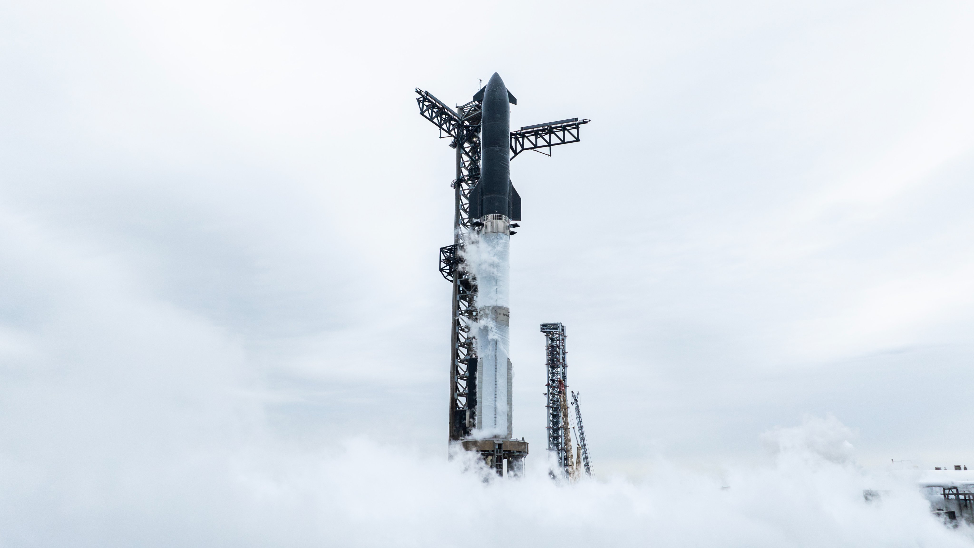
SpaceX Dragon berthed ISS with 6,500 pounds of cargo May 17. China's Zenk Space raised $26M, targeting June for Zhihang-1 rocket's orbital debut.

SpaceX successfully launched the historic Axiom-4 mission to the ISS, marking a significant milestone in private space travel, while also expanding Starlink's reach into Vietnam's healthcare sector.
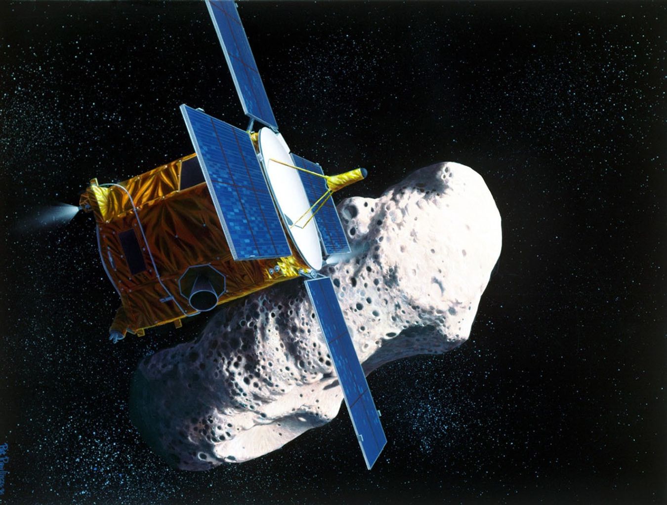
Twenty-four years ago, a spacecraft designed only to orbit made history with an improvised landing on asteroid Eros, marking humanitys first controlled touchdown on a small celestial body
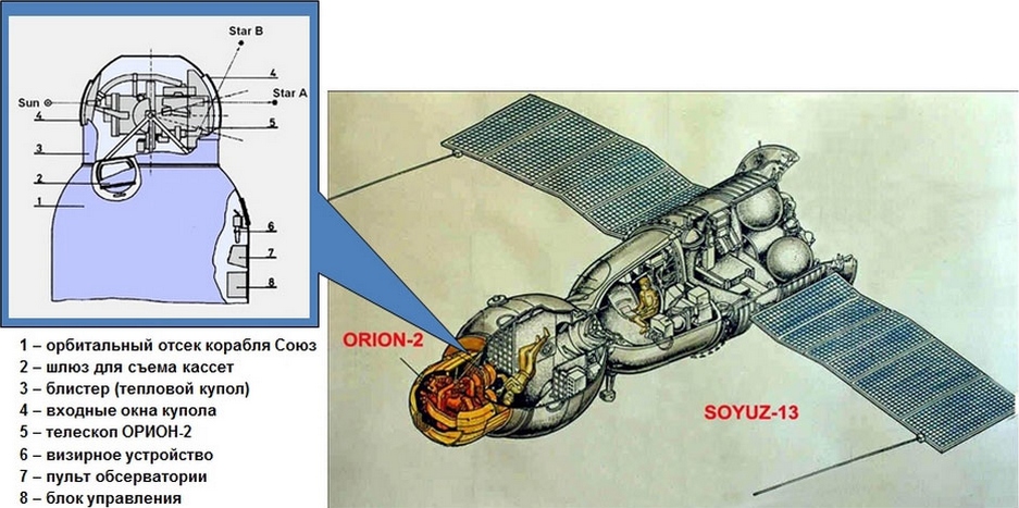
Exactly 52 years ago today, the Soviet Union launched Soyuz 13 - a scientific mission that marked the first time American astronauts and Soviet cosmonauts orbited Earth simultaneously. Armed with a revolutionary ultraviolet telescope, Pyotr Klimuk and Valentin Lebedev would discover elements never before seen in distant nebulae.

SpaceX gears up for significant 2026 launches while a Starlink satellite anomaly provides insights into its operations.