


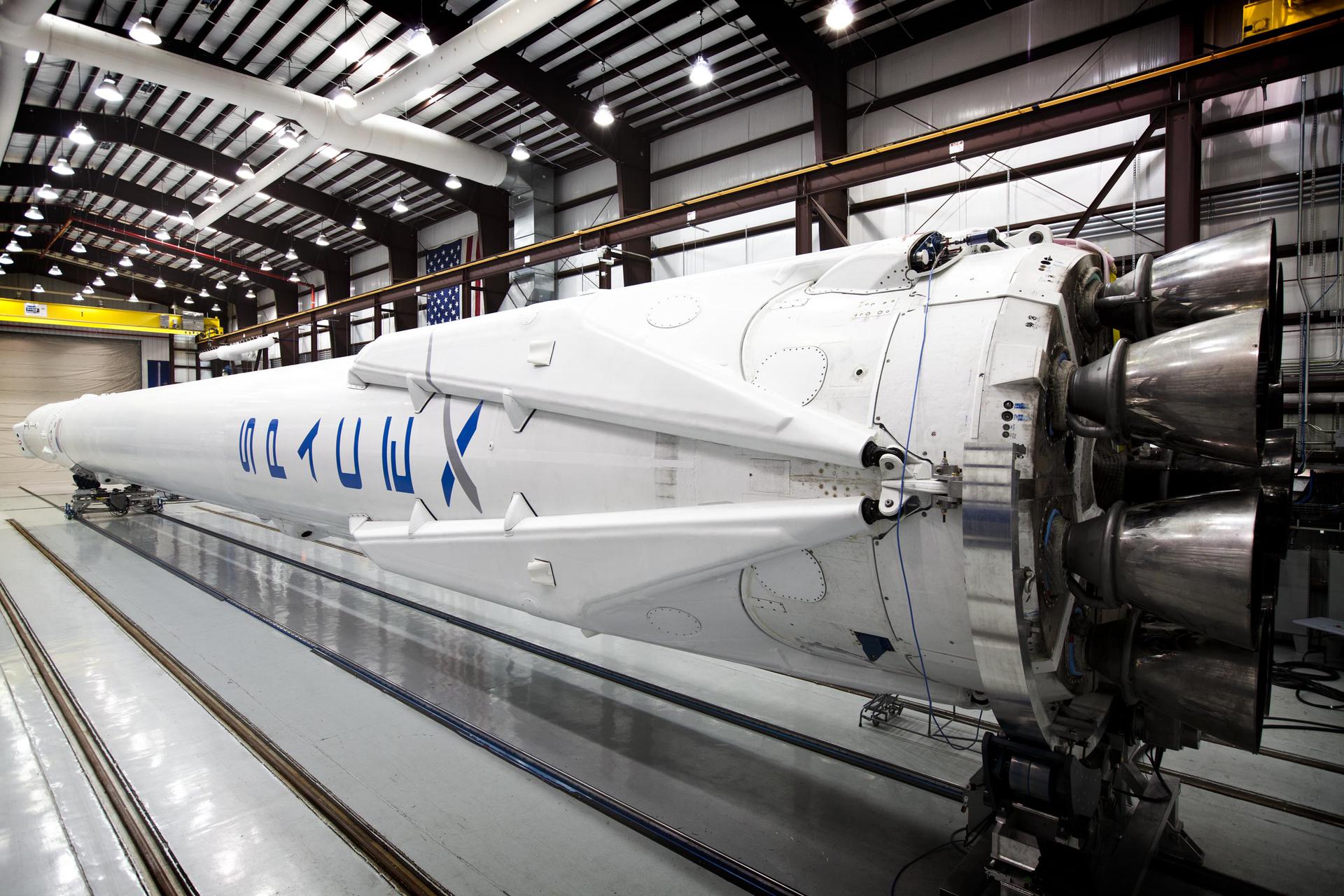
Space Brief 25 Nov 2025
Today's briefing covers Chinese satellite launches, military defense strategies in space, increasing launch activity at the Space Coast, and potential rivals to SpaceX's Starlink.


NORAD ID
64717
International Designator
2025-142X
Epoch
Sun, 19 Jul 2026 19:58:19 GMT
Apogee
Calculating...
Perigee
Calculating...
Inclination
70.00°
Right Ascension
341.31°
Eccentricity
Calculating...
Argument of Perigee
263.37°
Period
96.11 min
Mean Motion
14.98 rev/day
Latitude
Calculating...
Longitude
Calculating...
Altitude
Calculating...
Velocity
Calculating...
Name
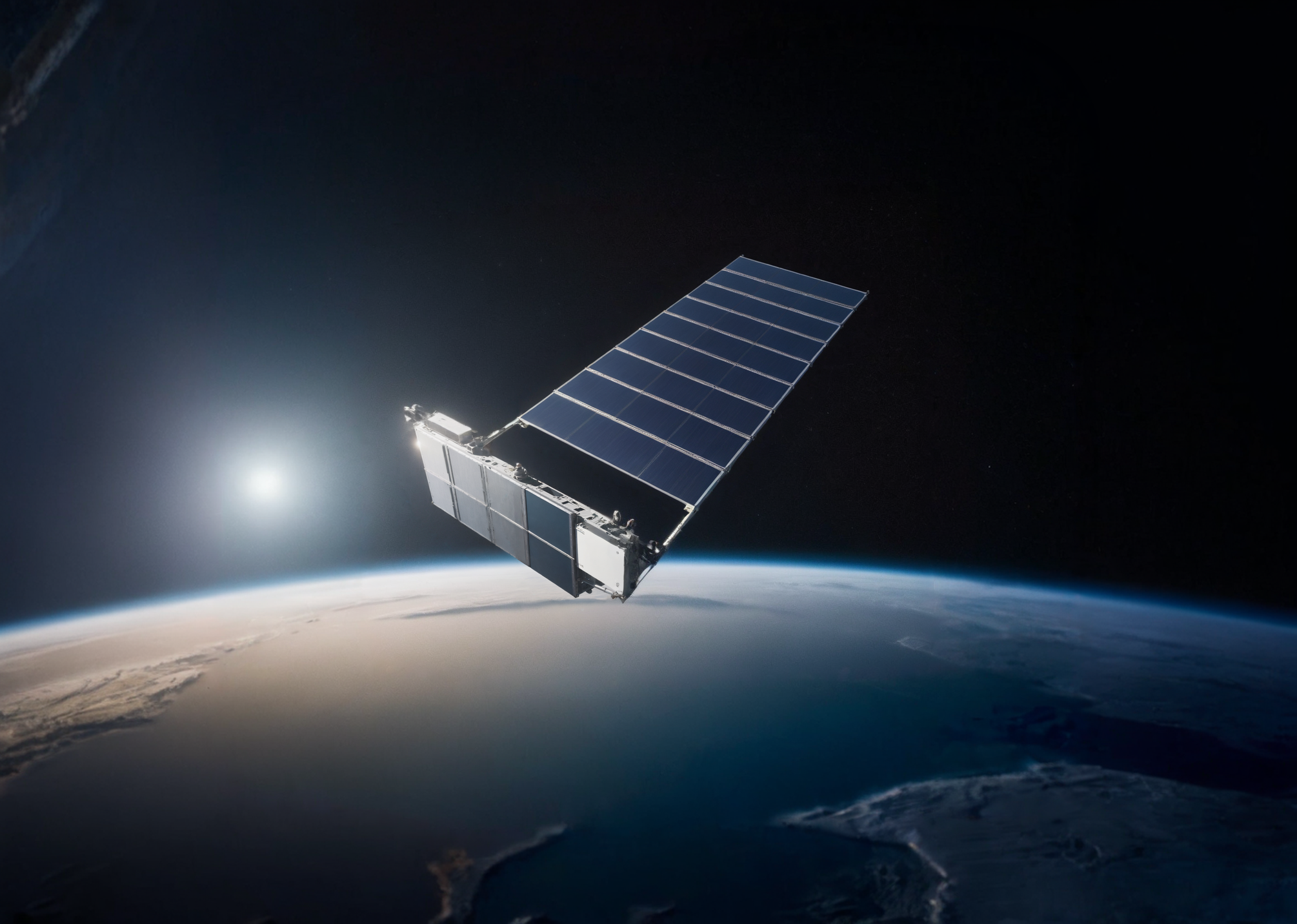
STARLINK-34568
Alternative Name
N/A
Type
Status
Owner
SPXS
Country
United States
Constellation
N/A
Related Satellites
Major Events
N/A
1 64717U 25142X 26200.83217286 .00001570 00000+0 13930-3 0 9997
2 64717 70.0026 341.3086 0003155 263.3698 96.7102 14.98335010 59281
Source: Celestrak
Length
0.3
Diameter
4.1
Span
29.0
Dry Mass
530
Launch Mass
575
Shape
Box + pan
Radar Cross Section
Unknown
Visual Magnitude
Unknown
Color
Unknown
Material Composition
Unknown
Payload
Starlink Group 15-7-22
Purpose
Unknown
Mission
Unknown
Manufacturer
SPXS
Life Expectancy
Unknown
Bus
Starlink V2MO
Configuration
Unknown
Motor
Unknown
Equipment
Unknown
Power System
Unknown
ADCS
Unknown
Transmitter Frequency
Unknown
Learn more about satellites and other related topics.
Today's briefing covers Chinese satellite launches, military defense strategies in space, increasing launch activity at the Space Coast, and potential rivals to SpaceX's Starlink.

SpaceX safely returns Crew-9 from ISS, launches new Starlink satellites, and showcases its satellite kit production capabilities.

Today's Space Brief covers potential changes in the procurement strategies for the Space Force, developments in missile detection technology, and budgetary impacts on space programs.
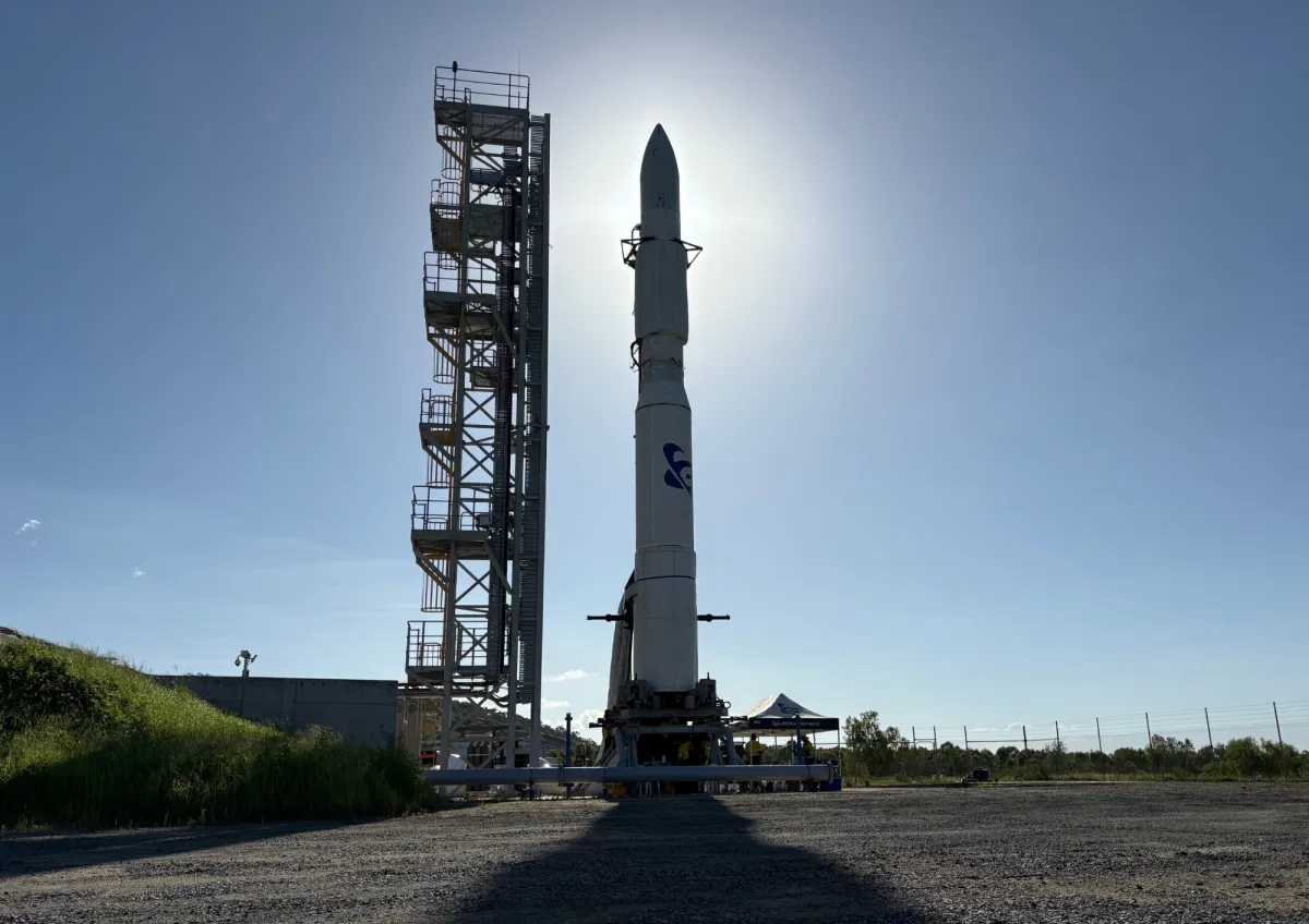
Today's brief covers secret Space Force payloads monitoring China's satellites, collaborations reducing satellite tracking delays, and new AI projects for military operations.

SpaceX marks another milestone and setback with Starship Flight 7, achieving a successful booster catch but losing the upper stage during ascent.
NRO expands commercial imaging with HEO, SatVu, and Sierra Nevada. ChatGPT rolls out to 3 million military users via GenAI.mil. C-130J deliveries paused.

Today's brief covers the U.S. Space Force's orbital carrier initiative, ULA Vulcan's approval for military launches, Rocket Lab's new contract with the Space Force, integrated data layers for military command, and advances in tactical surveillance.

Landsat 7 launched on April 15, 1999, designed to last five years. It operated for twenty-five, survived a failure that destroyed a fifth of every image it took, and became part of the longest continuous record of Earth's surface ever assembled. Then they made the data free.