


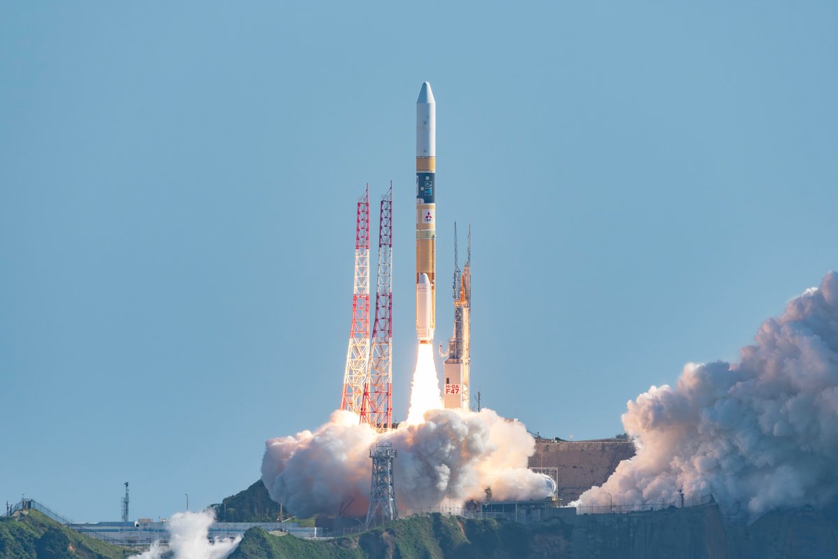
Space Brief 16 Jun 2025
Today's update covers NASA's Ax-4 mission preparations, ESA's satellite imaging program, Ursa Major's military contract, and China's expanding nuclear arsenal.


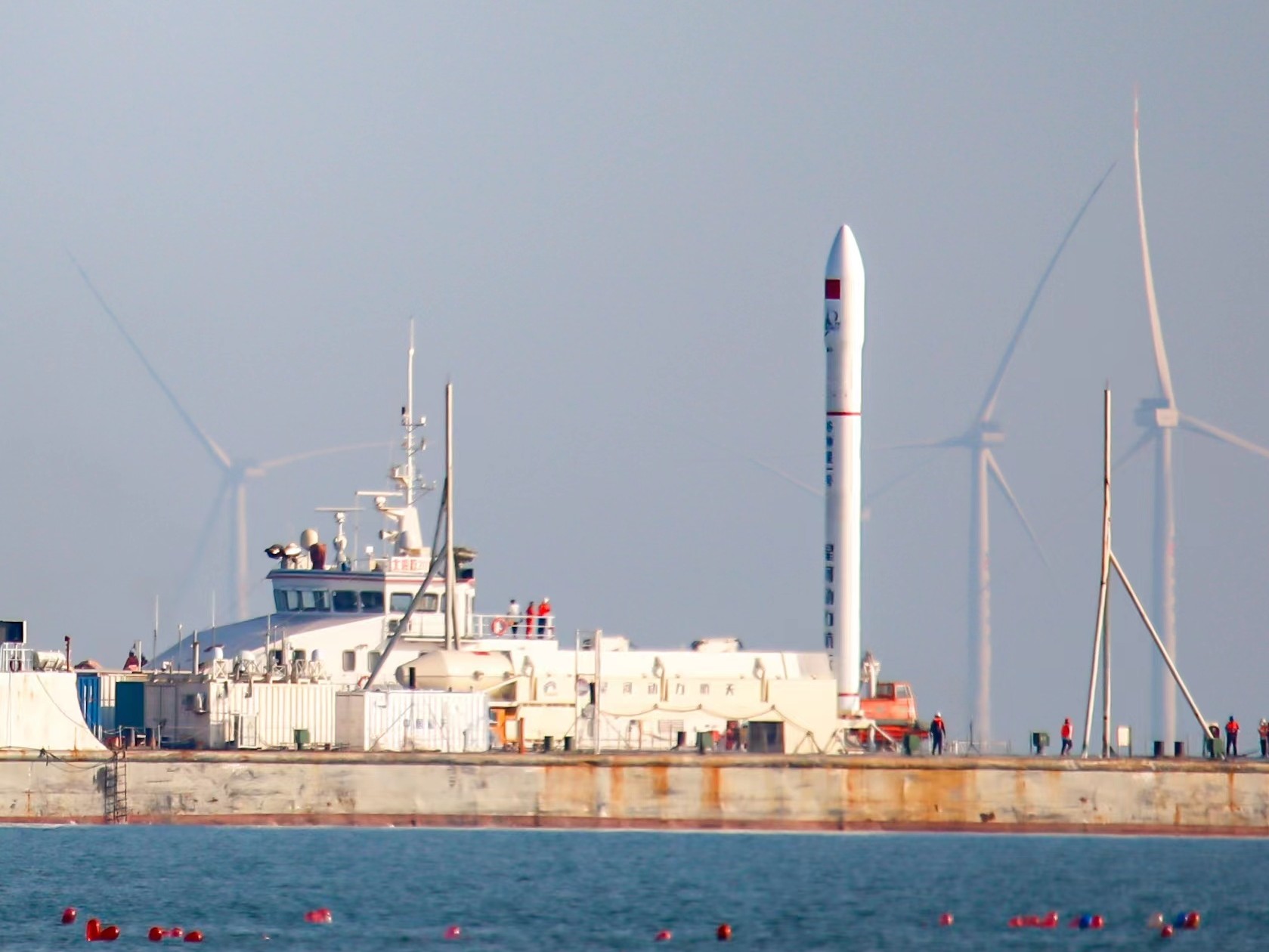
Launch Date
August 29, 2024
Launch Site
Offshore waters of Rizhao, Yellow Sea
Launch Pad
Special converted barge (Dong Fang Hang Tian Gang)
Launch Vehicle
Ceres-1S Y3
NORAD ID
60750
International Designator
2024-153F
Epoch
Sun, 19 Jul 2026 20:27:26 GMT
Apogee
Calculating...
Perigee
Calculating...
Inclination
97.68°
Right Ascension
338.30°
Eccentricity
Calculating...
Argument of Perigee
130.20°
Period
94.32 min
Mean Motion
15.27 rev/day
Latitude
Calculating...
Longitude
Calculating...
Altitude
Calculating...
Velocity
Calculating...
Name
Tianfu Gaofen 2
Alternative Name
Huaxiangyuan-1
Type
Status
Owner
Xiamen Tianwei Technology Co., Ltd.
Country
China
Constellation
N/A
Related Satellites
Major Events
N/A
1 60750U 24153F 26200.85238670 .00007662 00000+0 29431-3 0 9994
2 60750 97.6753 338.3017 0006846 130.2007 229.9831 15.26723104104784
Source: Celestrak
Apologies, there is no summary for this satellite yet. I am working to generate these for every object in the catalog, but it is going to take time.
Length
2
Diameter
1.5
Span
5
Dry Mass
50
Launch Mass
50
Shape
Box + pan
Radar Cross Section
Unknown
Visual Magnitude
Unknown
Color
Unknown
Material Composition
Unknown
Payload
The primary payload is a hyperspectral imaging system capable of capturing detailed spectral information across various wavelengths.
Purpose
The satellite aims to support environmental monitoring, resource management, and urban planning by providing high-resolution hyperspectral imagery.
Mission
Tianfu Gaofen 2 is a hyperspectral Earth observation satellite designed to provide high-resolution imagery for applications in environmental monitoring, resource management, and urban planning.
Manufacturer
Hunan Hangsheng Satellite Technology Co., Ltd.
Life Expectancy
Unknown
Bus
TFG
Configuration
Unknown
Motor
Unknown
Equipment
The satellite is equipped with a hyperspectral remote sensing payload designed to capture high-resolution optical imagery across multiple spectral bands.
Power System
Unknown
ADCS
Unknown
Transmitter Frequency
Unknown
Learn more about satellites and other related topics.
Today's update covers NASA's Ax-4 mission preparations, ESA's satellite imaging program, Ursa Major's military contract, and China's expanding nuclear arsenal.
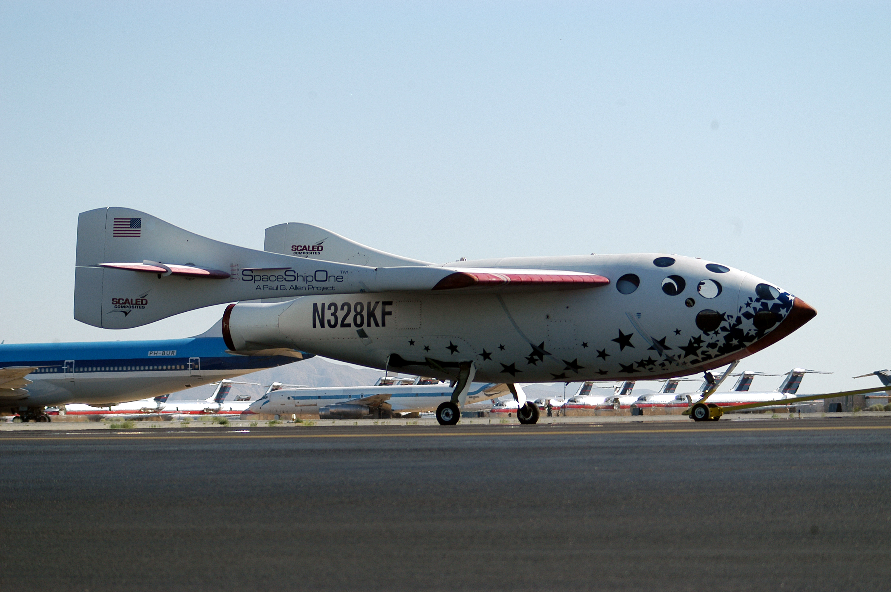
On 21 June 2004, a 63-year-old test pilot rode a homebuilt rocket plane to 100,124 meters above the Mojave Desert, clearing the edge of space by about the length of a city block. He came down the first private astronaut in history, holding a sign that read 'SpaceShipOne, GovernmentZero.'
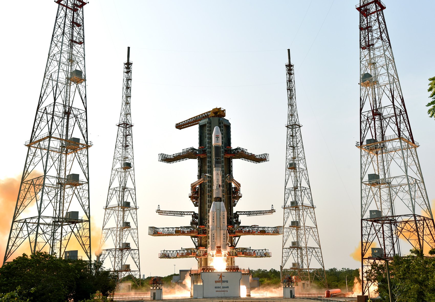
Today's brief covers China's Tianzhou-9 launch to the Tiangong space station, the U.S. Space Force's unfunded MILNET project, and the evolving use of AI in military applications.
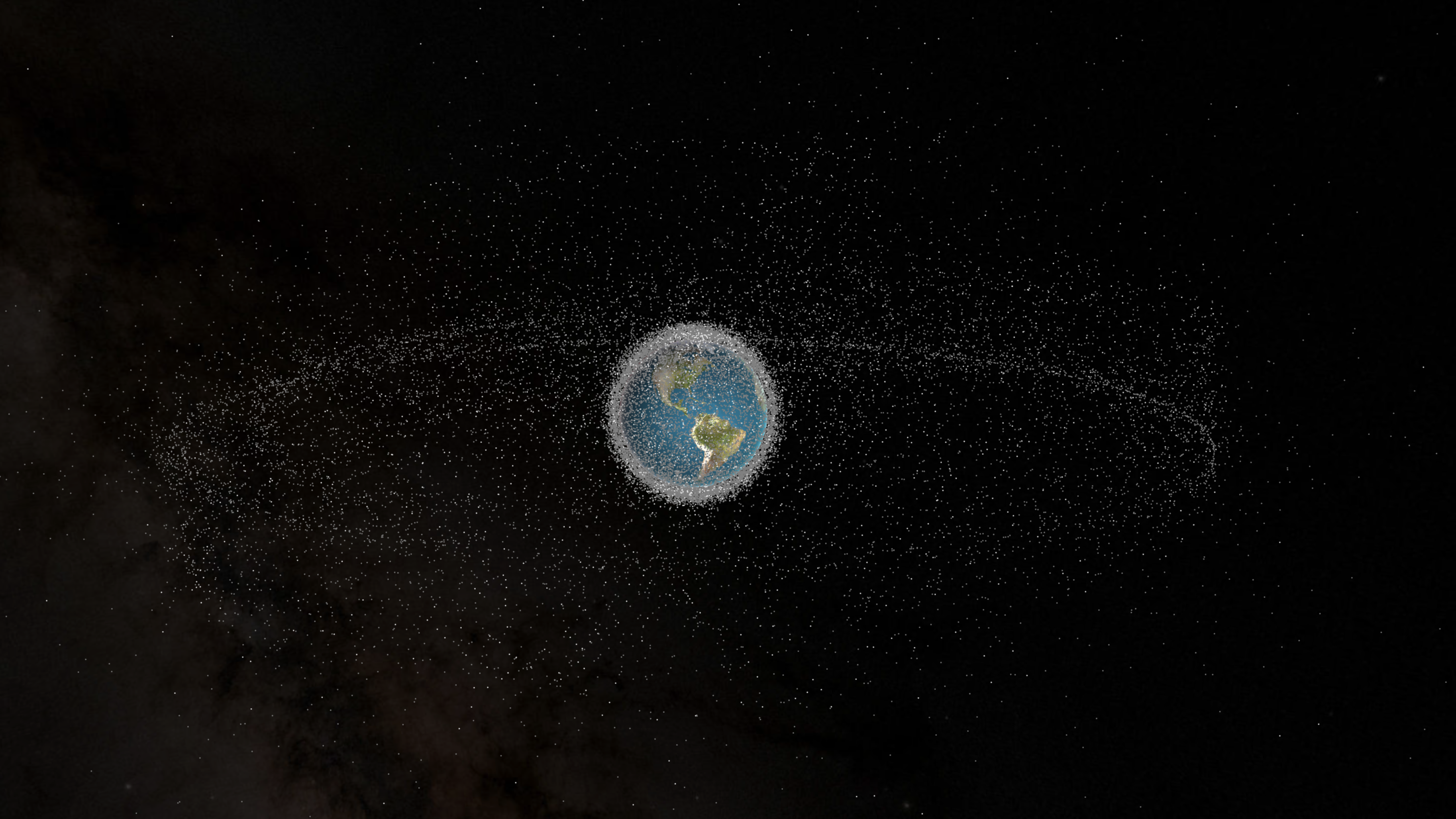
From shattered satellites to exploded rocket stages, space debris poses a growing risk to satellites, space stations, and astronauts. Here's a deep dive into what causes space debris, notable generating events, and what we're doing about it.

Discover key developments in space defense and military operations, including new leadership for Space Force's 'Golden Dome,' SpaceX's contract for a military SATCOM network, and increased Israeli-Iranian missile activity.

SpaceX's Starship V3 targets Flight 12 with an unprecedented self-inspection maneuver, while Delta Air Lines walks away from Starlink inflight Wi-Fi.
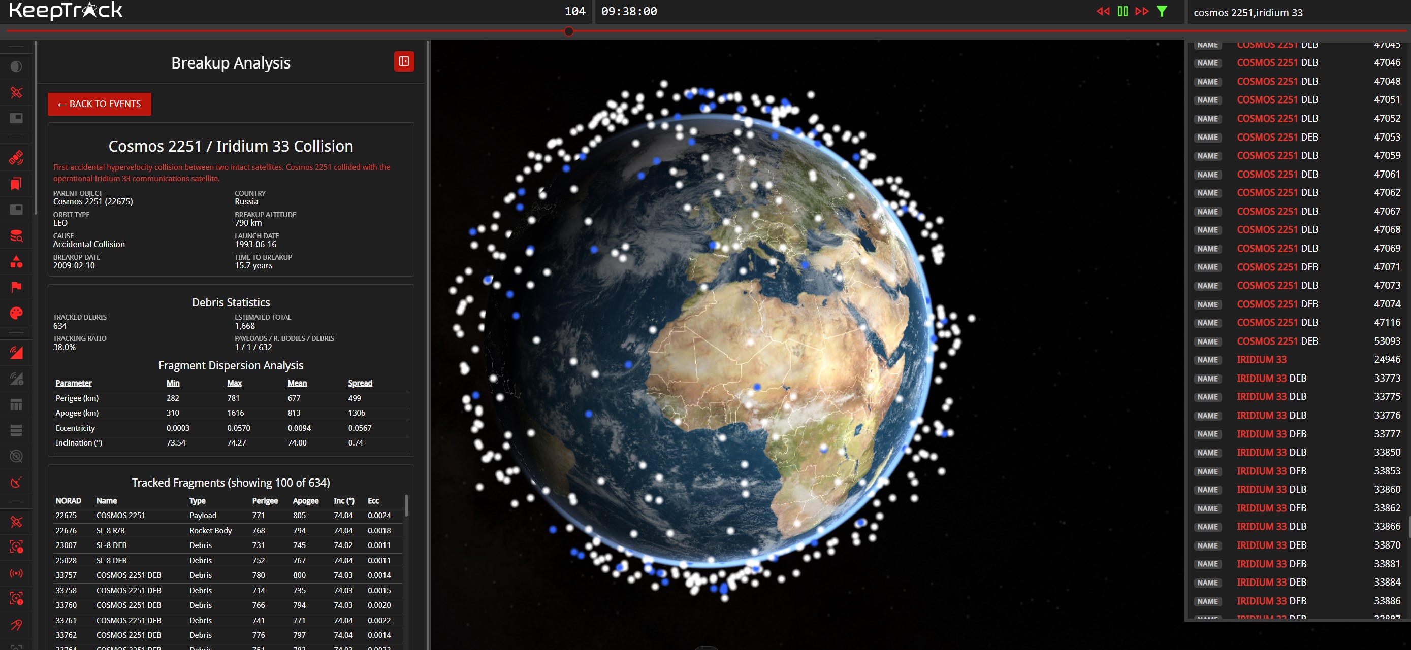
On February 10, 2009, an active Iridium communications satellite and a derelict Soviet military spacecraft slammed into each other 789 kilometers above Siberia. The collision produced more than 2,300 pieces of trackable debris that are still up there. Seventeen years later, the Iridium-Cosmos collision remains the event that made space debris a policy problem the world could no longer ignore.

Musk confirms Starmind, an AI satellite constellation targeting 1 million orbital compute nodes. Starfall's debut and Dragon's ISS departure follow.