



Space Brief 18 Apr 2025
Today's highlights include a Minotaur IV launch of U.S. spy satellites, Rocket Lab's new defense contracts, and the unveiling of Space Force's warfighting framework. Plus, the Satellite Spotlight dives into METEOR 3-1.


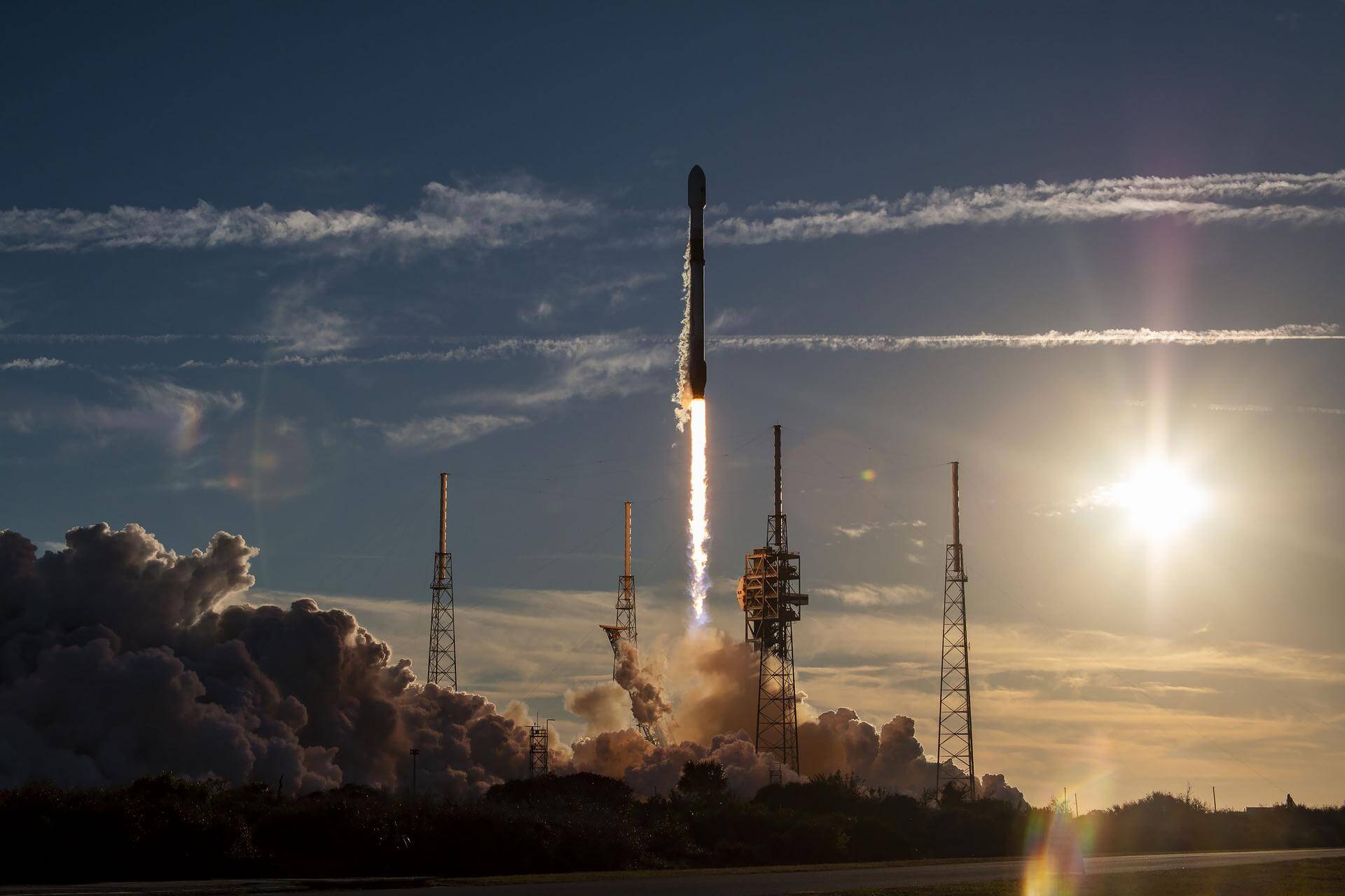
Launch Date
February 14, 2024
Launch Site
Launch Pad
LC40
Launch Vehicle
NORAD ID
58955
International Designator
2024-028A
Epoch
Mon, 20 Jul 2026 02:18:14 GMT
Apogee
Calculating...
Perigee
Calculating...
Inclination
39.99°
Right Ascension
252.71°
Eccentricity
Calculating...
Argument of Perigee
67.20°
Period
105.07 min
Mean Motion
13.70 rev/day
Latitude
Calculating...
Longitude
Calculating...
Altitude
Calculating...
Velocity
Calculating...
Name
HBTSS-SV2
Alternative Name
HBTSS-SV2
Type
Status
Owner
MDA
Country
United States
Constellation
N/A
Related Satellites
Major Events
N/A
1 58955U 24028A 26201.09600016 -.00000009 00000+0 76762-4 0 9992
2 58955 39.9902 252.7062 0018410 67.1951 293.0738 13.70477776121581
Source: Celestrak
Length
1
Diameter
0.6
Span
2
Dry Mass
1000
Launch Mass
1000
Shape
Box + panels
Radar Cross Section
Unknown
Visual Magnitude
Unknown
Color
Unknown
Material Composition
Unknown
Payload
HBTSS 2
Purpose
Early warning
Mission
Early warning
Manufacturer
NGIS
Life Expectancy
Unknown
Bus
HBT-NG
Configuration
Unknown
Motor
Unknown
Equipment
Unknown
Power System
Unknown
ADCS
Unknown
Transmitter Frequency
Unknown
Learn more about satellites and other related topics.
Today's highlights include a Minotaur IV launch of U.S. spy satellites, Rocket Lab's new defense contracts, and the unveiling of Space Force's warfighting framework. Plus, the Satellite Spotlight dives into METEOR 3-1.
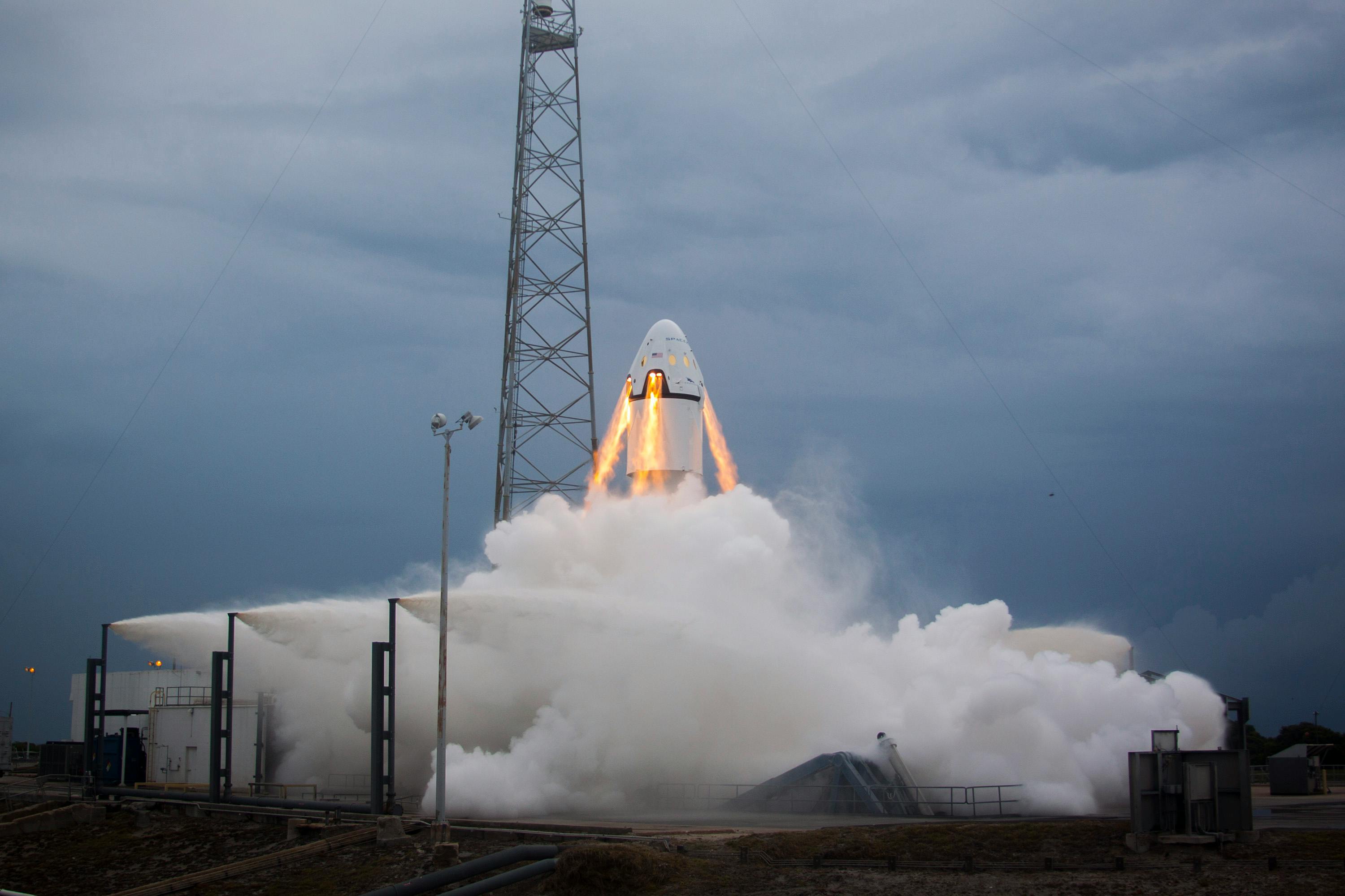
Exciting advancements from SpaceX's Fram2 mission and the pivotal role of biotech in space exploration.
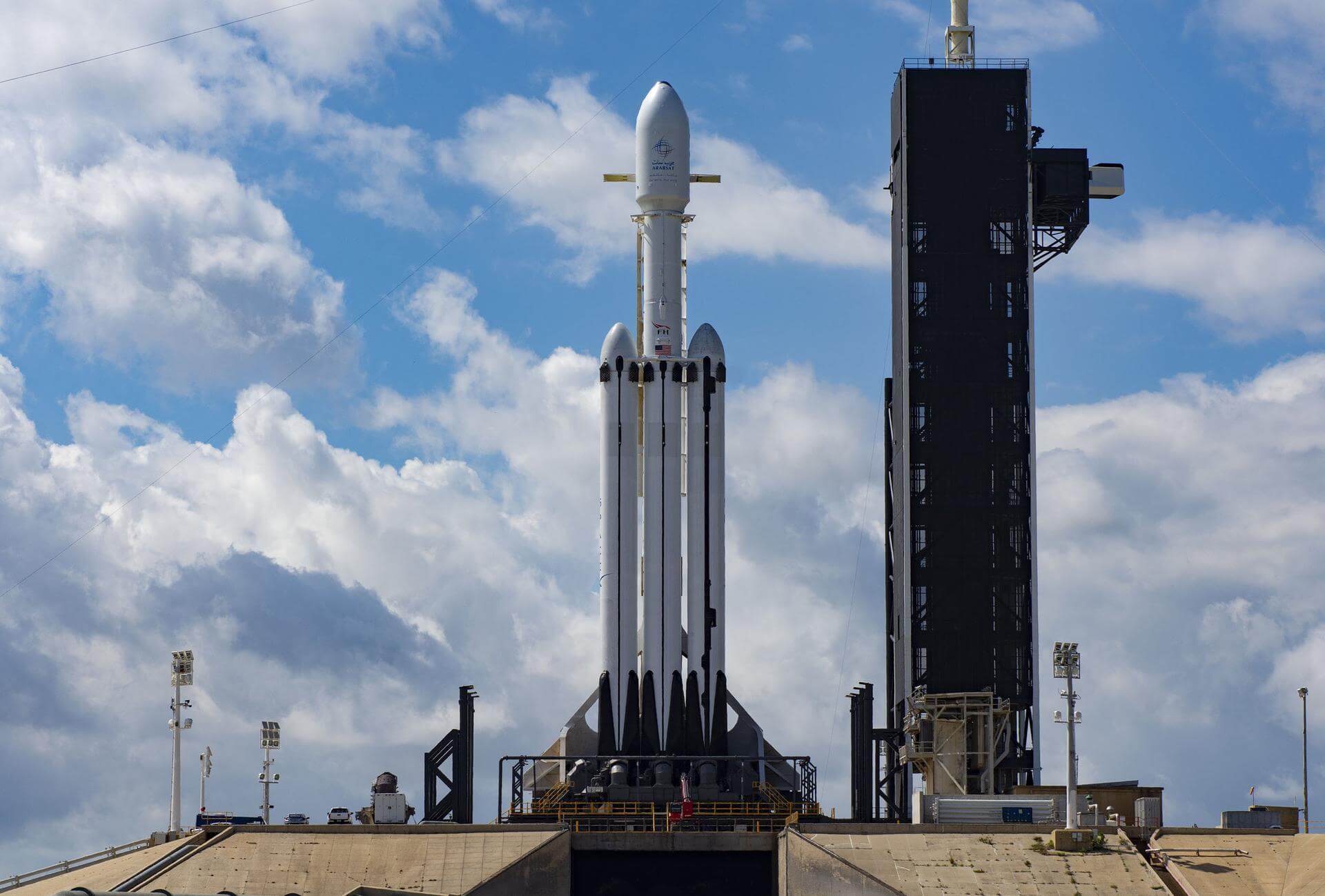
Pentagon requests $8 billion for space-based moving target tracking constellation in FY2027 budget. New NORAD IDs expected as Space Force expands orbital ISR capabilities.

Starlink confirmed operational aboard Air Force One over Pacific. Pentagon awards 10,000 low-cost cruise missiles to 4 contractors under new LCCMP program.

Today's Space Brief covers a significant signals intelligence launch, a record-breaking satellite deployment in China, a glimpse into the newest stealth drone, a potential delay for NASA's lunar lander, and more exciting updates from satellite world.

SpaceX scrubs Crew-10 launch due to hydraulics issue; successful Falcon 9 launch for NASA missions, and Texas supports SpaceX expansion.

Today’s brief covers the delayed launch of Australia's first orbital rocket, China's reusability programs, and the snow-enforced shutdown of a Chilean radio telescope.
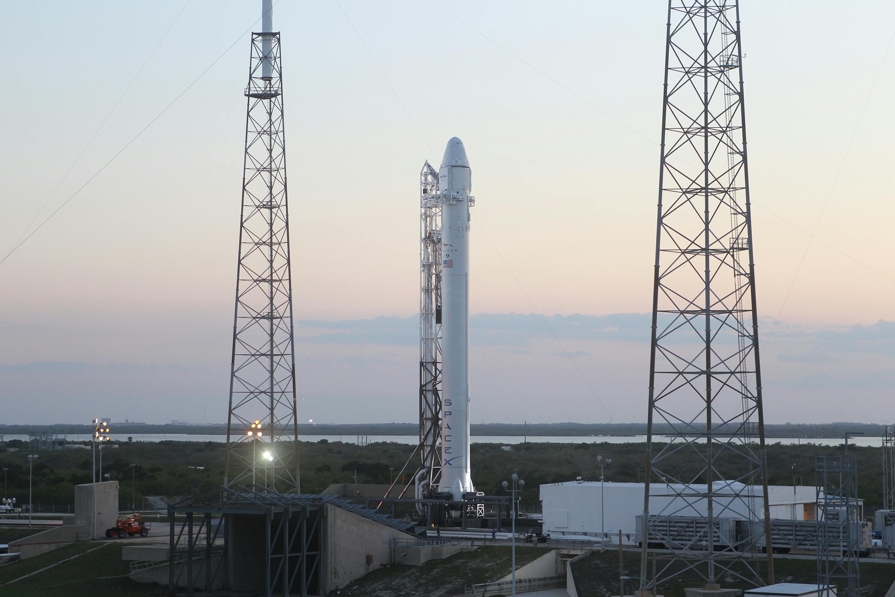
SpaceX successfully launched the Dror 1 satellite for Israel Aerospace Industries, marking another step forward in their launch capabilities.