


X Report 19 Dec 2025
A partial breakup incident involving a Starlink satellite raised concerns, while SpaceX continued its ambitious projects and launches.



Launch Date
June 24, 2002
Launch Site
AFWTR
Launch Pad
SLC4W
Launch Vehicle
Titan II SLV
NORAD ID
48766
International Designator
2002-032DB
Epoch
Fri, 03 Jul 2026 08:35:19 GMT
Apogee
Calculating...
Perigee
Calculating...
Inclination
98.61°
Right Ascension
147.55°
Eccentricity
Calculating...
Argument of Perigee
174.00°
Period
98.68 min
Mean Motion
14.59 rev/day
Latitude
Calculating...
Longitude
Calculating...
Altitude
Calculating...
Velocity
Calculating...
Name
NOAA 17 DEB
Alternative Name
deb NOAA 17
Type
Status
Owner
NOAA
Country
United States
Constellation
N/A
Related Satellites
Major Events
N/A
1 48766U 02032DB 26184.35786726 .00009397 00000-0 19965-2 0 9993
2 48766 98.6064 147.5505 0005965 174.0040 186.1231 14.59292241273603
Source: Celestrak
Length
0
Diameter
0
Span
0
Dry Mass
0
Launch Mass
0
Shape
N/A
Radar Cross Section
Unknown
Visual Magnitude
Unknown
Color
Unknown
Material Composition
Unknown
Payload
Unknown
Purpose
Unknown
Mission
Unknown
Manufacturer
Unknown
Life Expectancy
Unknown
Bus
Unknown
Configuration
Unknown
Motor
Unknown
Equipment
Unknown
Power System
Unknown
ADCS
Unknown
Transmitter Frequency
Unknown
Learn more about satellites and other related topics.
A partial breakup incident involving a Starlink satellite raised concerns, while SpaceX continued its ambitious projects and launches.

NASA is adding 6 post-certification crew missions to SpaceX's contract as Boeing remains unable to certify Starliner for operational flights.

SpaceX secured a $60B option to acquire Cursor AI while launching its 40th Falcon 9 mission of 2026, deploying 24 more Starlink satellites from Vandenberg.
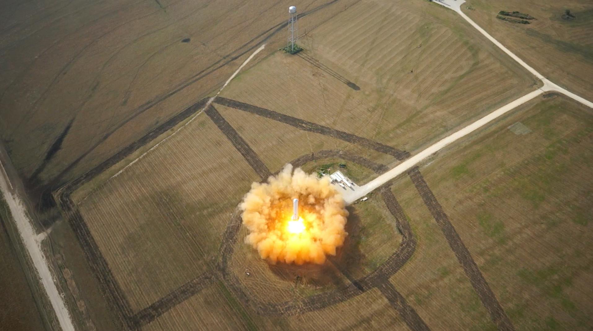
Today's Space Brief covers the reentry of Firefly's Blue Ghost moon lander, a compelling study on space debris exacerbated by climate change, and new advancements from the Vera Rubin Observatory.
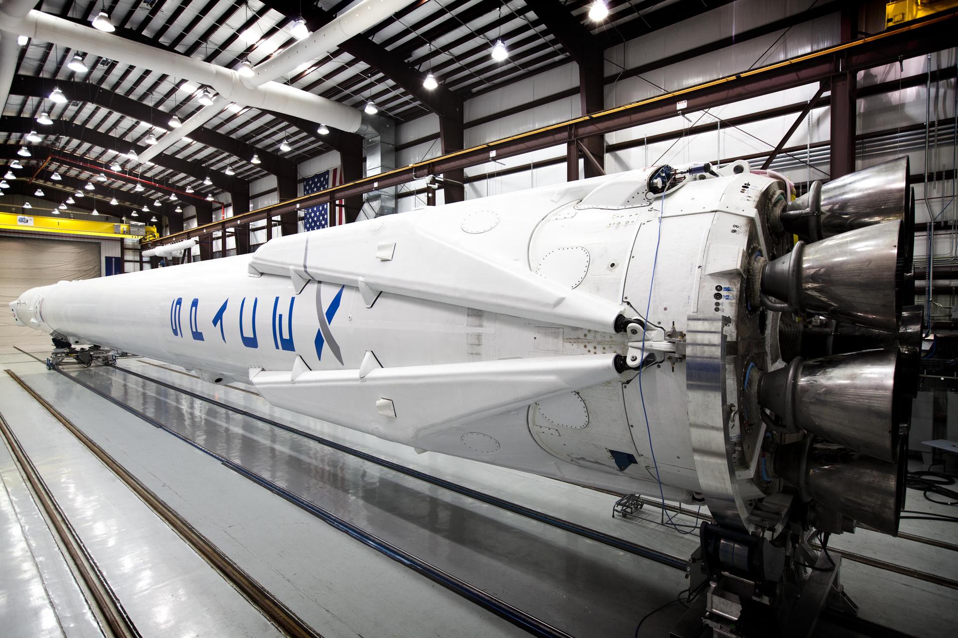
Today's Space Brief highlights SpaceX's return to Starlink launches, a call to address space debris, and changes in NASA leadership under the new Trump administration.
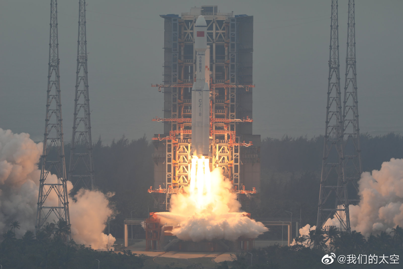
SpaceX continues its ambitious satellite deployment schedule with two successful Starlink launches in just 24 hours, enhancing global connectivity.
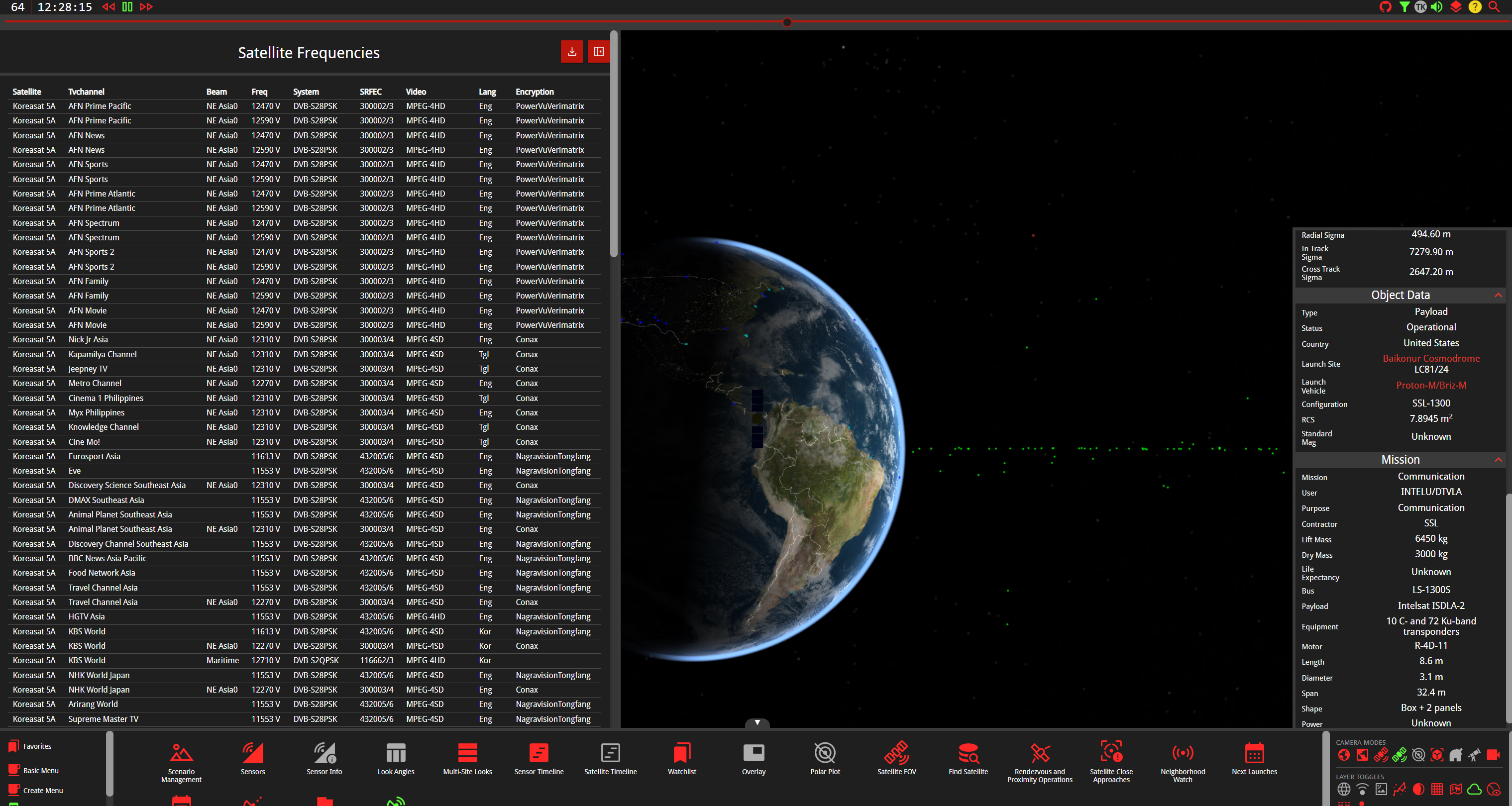
The workhorse frequency band that quietly powers satellite communications, weather radar, and Wi-Fi around the world

South Korea's sophisticated network of robotic telescopes provides critical space situational awareness while strengthening the nation's position in space security amid regional tensions