


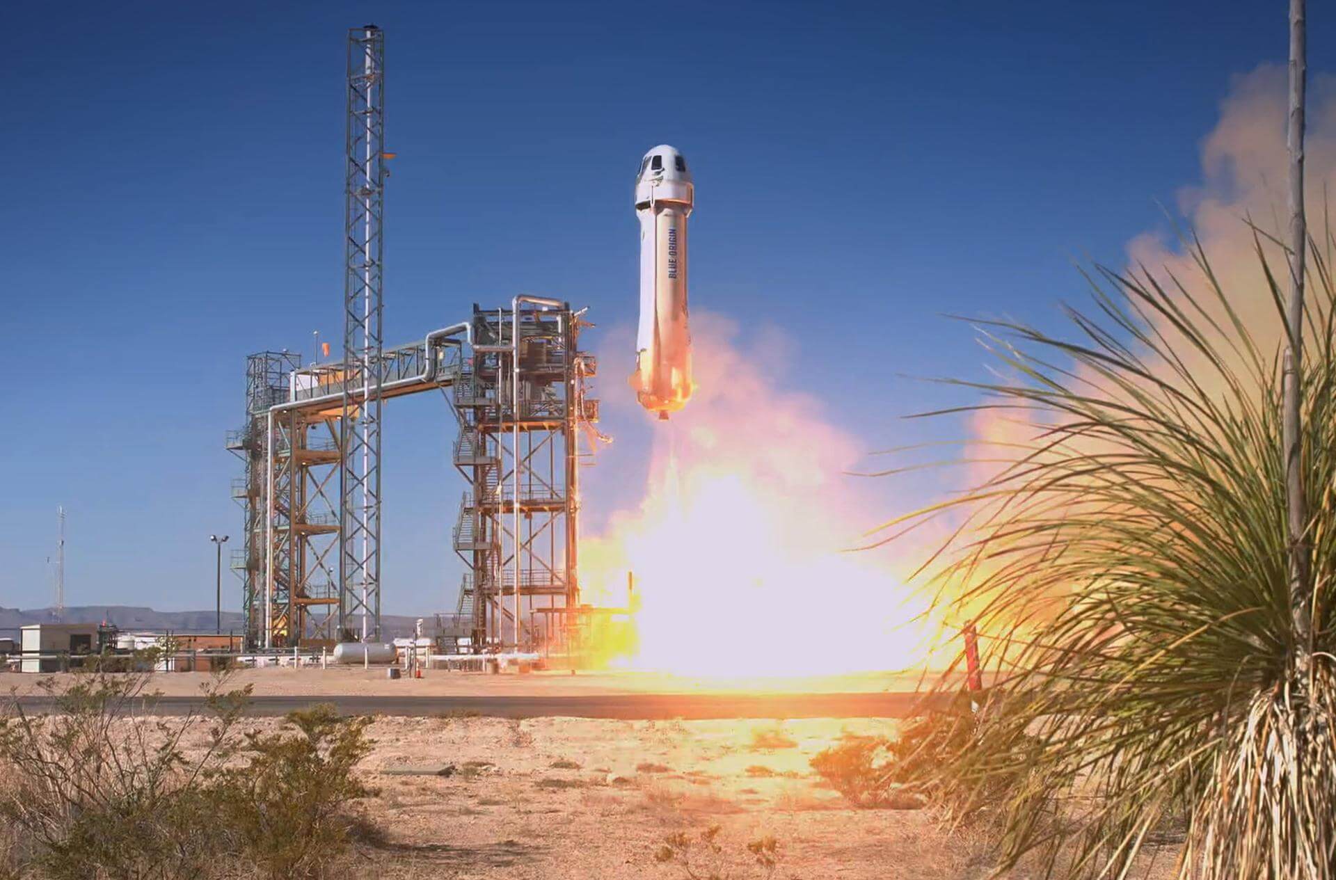
Space Brief 15 Dec 2025
Today's highlights include multiple SpaceX Starlink launches, a successful Rocket Lab mission for JAXA, and a scheduled launch update from Kennedy Space Center.



Launch Date
February 20, 1987
Launch Site
PLMSC
Launch Pad
LC32/2
Launch Vehicle
Tsiklon-3
NORAD ID
39805
International Designator
1987-020ED
Epoch
Sat, 04 Jul 2026 03:29:34 GMT
Apogee
Calculating...
Perigee
Calculating...
Inclination
73.60°
Right Ascension
327.42°
Eccentricity
Calculating...
Argument of Perigee
201.30°
Period
115.88 min
Mean Motion
12.43 rev/day
Latitude
Calculating...
Longitude
Calculating...
Altitude
Calculating...
Velocity
Calculating...
Name
COSMOS 1823 DEB
Alternative Name
deb Kosmos-1823
Type
Status
Owner
RVSN
Country
Russia
Constellation
N/A
Related Satellites
Major Events
N/A
1 39805U 87020ED 26185.14553663 -.00000013 00000-0 32997-4 0 9996
2 39805 73.5985 327.4203 0022165 201.2971 340.3742 12.42657462548260
Source: Celestrak
Length
0
Diameter
0
Span
0
Dry Mass
0
Launch Mass
0
Shape
N/A
Radar Cross Section
0.0139
Visual Magnitude
Unknown
Color
Unknown
Material Composition
Unknown
Payload
Unknown
Purpose
Unknown
Mission
Unknown
Manufacturer
Unknown
Life Expectancy
Unknown
Bus
Unknown
Configuration
Unknown
Motor
Unknown
Equipment
Unknown
Power System
Unknown
ADCS
Unknown
Transmitter Frequency
Unknown
Learn more about satellites and other related topics.
Today's highlights include multiple SpaceX Starlink launches, a successful Rocket Lab mission for JAXA, and a scheduled launch update from Kennedy Space Center.

Space Force sees strategic value in asteroid mining. Congress pushes back on R-GPS phase-out over jamming risks. BlackSky expands Gen 3 defense contracts.
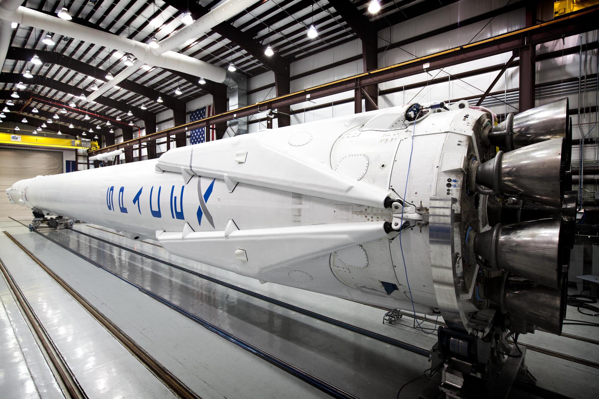
A busy day in space as delays hit Boeing's Starliner launch, SpaceX continues its rapid launch cadence, new concerns arise with the discovery of bacteria on the Tiangong space station, and the European Space Agency supports a pivotal Moon mission.
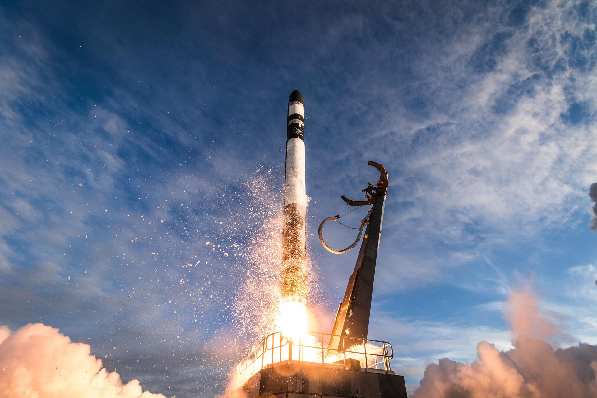
Today's brief covers key industry movements in space logistics and satellite production, including Rocket Lab's new U.S. Air Force contract, Sierra Space's strides in GPS technology, and more.
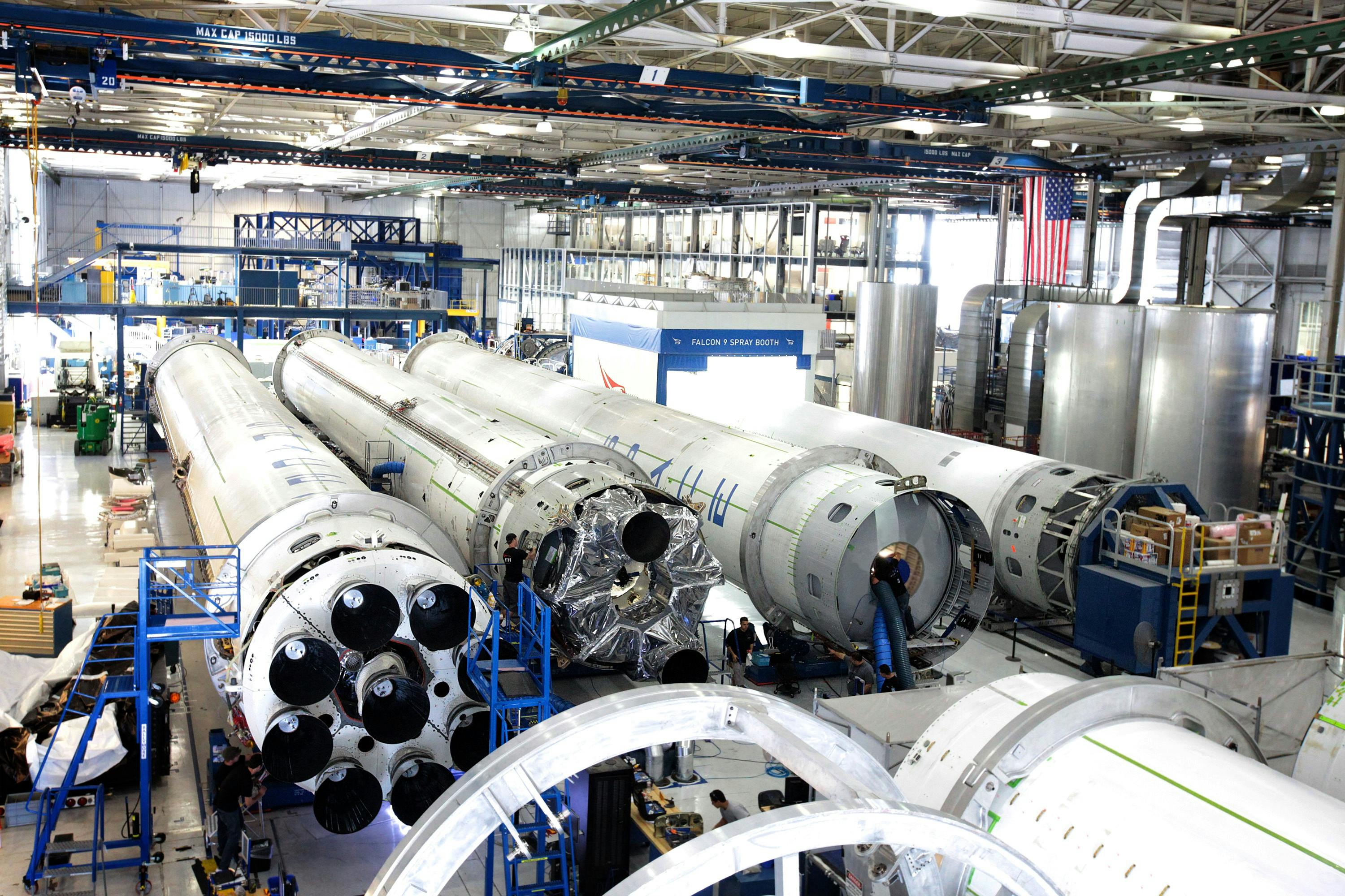
SpaceX's Falcon 9 delivered GPS III SV-10 at 0653 UTC, capping Lockheed Martin's 10-satellite series as SpaceX eyes a $60B AI coding acquisition pre-IPO.
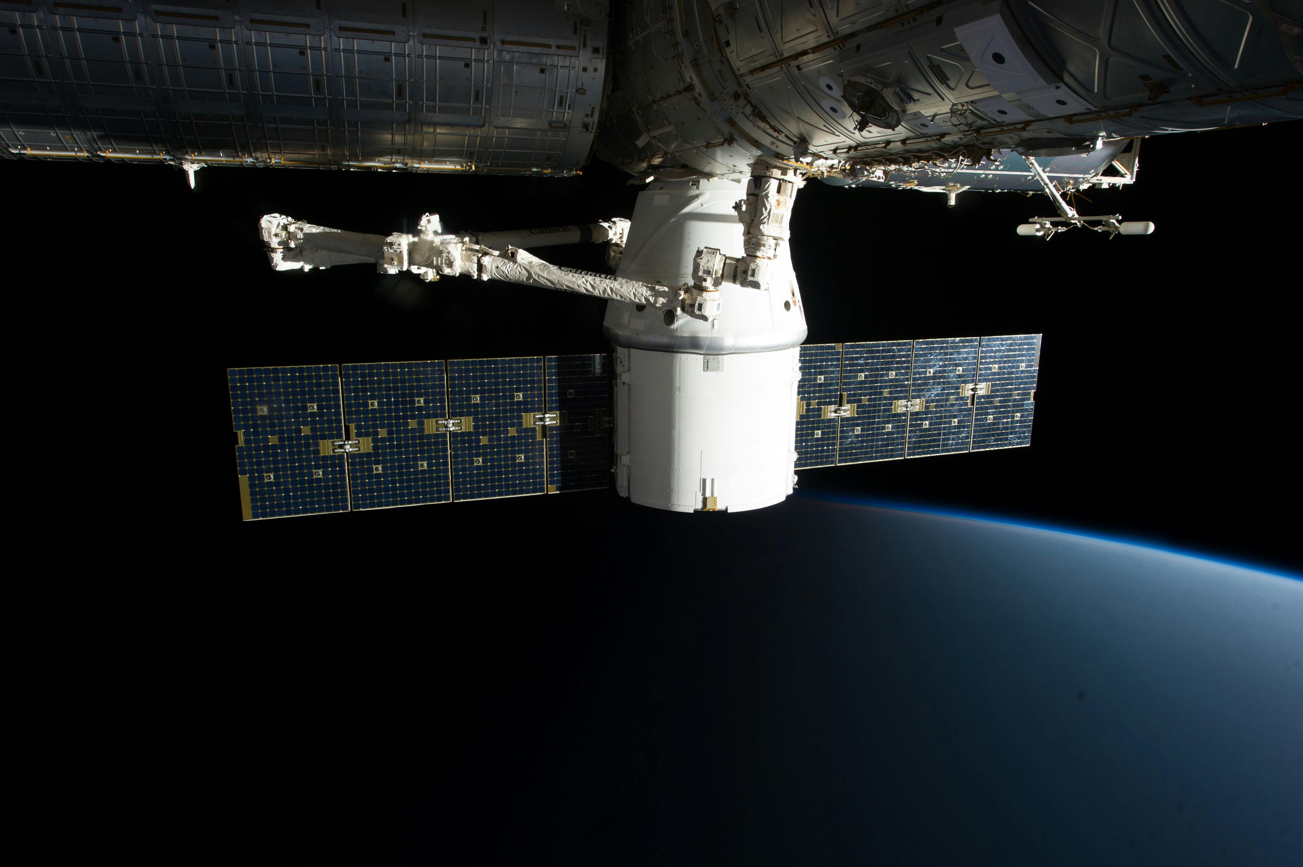
SpaceX and NASA swap Crew Dragon for Crew-10 mission; exciting 'space jellyfish' phenomena from recent launch.
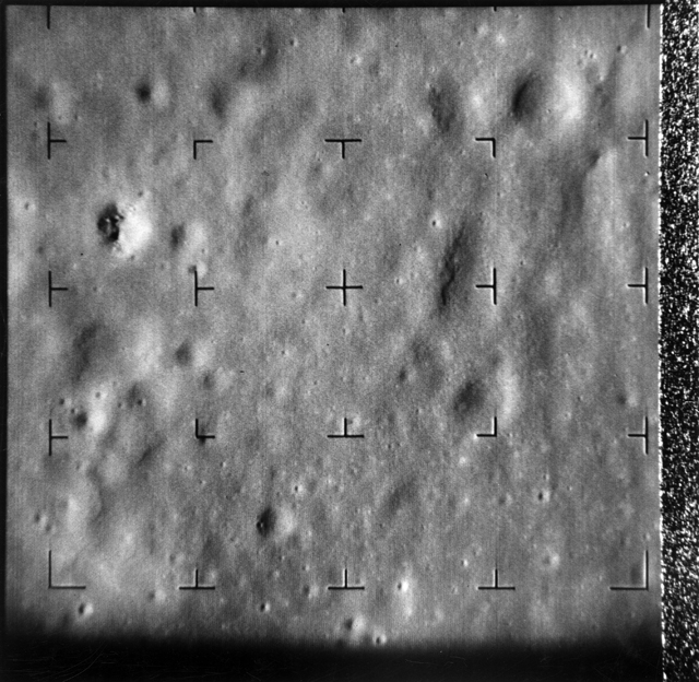
Sixty years ago, a pioneering spacecraft called Ranger 8 captured thousands of detailed photographs of the lunar surface before intentionally crashing into the Moon, helping pave the way for humanity's first steps on another world
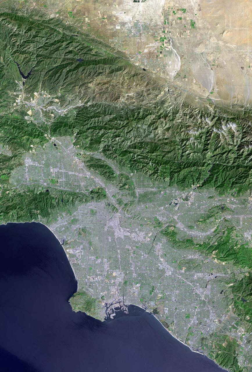
Landsat 7 launched on April 15, 1999, designed to last five years. It operated for twenty-five, survived a failure that destroyed a fifth of every image it took, and became part of the longest continuous record of Earth's surface ever assembled. Then they made the data free.