



New Glenn Static Fire Anomaly Grounds Amazon Launch | KeepTrack Space Brief
Blue Origin's New Glenn suffered catastrophic anomaly during static fire test at LC-36. Amazon LEO satellites pulled; NASA lunar missions now in question.


Launch Date
May 24, 2014
Launch Site
TNSC (Tanegashima Space Center), Japan
Launch Pad
Yoshinobu Launch Complex
Launch Vehicle
H-IIA F24 (202 configuration)
NORAD ID
39766
International Designator
2014-029A
Epoch
Fri, 03 Jul 2026 18:38:40 GMT
Apogee
Calculating...
Perigee
Calculating...
Inclination
97.92°
Right Ascension
281.70°
Eccentricity
Calculating...
Argument of Perigee
89.00°
Period
97.33 min
Mean Motion
14.79 rev/day
Latitude
Calculating...
Longitude
Calculating...
Altitude
Calculating...
Velocity
Calculating...
Name
ALOS-2 (Advanced Land Observing Satellite-2)
Alternative Name
Daichi-2
Type
Status
Owner
JAXA (Japan Aerospace Exploration Agency)
Country
Japan
Constellation
ALOS/Daichi series (operating in constellation with ALOS-4 since July 2024)
Related Satellites
Major Events
2014-05-24: Launch on H-IIA F24 from Tanegashima with secondary payloads (Rising-2, UNIFORM-1, SOCRATES, SPROUT). 2014-07-04 to 2014-07-14: CIRC initial functional verification phase. 2014-08: Autonomous orbit control system activated (world's first for regular EO operations). 2014-08-04: PALSAR-2 regular observations begin. 2019-05: Exceeded 5-year design lifetime, entered extended mission. 2023-03-07: Sister mission ALOS-3 lost in H3 TF1 launch failure. 2024-07-01: ALOS-4 (Daichi-4) launched, begins constellation operations with ALOS-2. 2025-03: JAXA developed SAR foundation model using ALOS-2 observation data. 2025-12-07: ALOS-2 observation data still being accumulated per JAXA records. 2026-03-05: ALOS-2 tasking order deadline updated by PASCO, confirming continued operations.
1 39766U 14029A 26184.77685350 .00001480 00000-0 20504-3 0 9996
2 39766 97.9231 281.7034 0001643 89.0013 271.1387 14.79475407654039
Source: Celestrak
Length
9.9
Diameter
3.7
Span
16.5
Dry Mass
2000
Launch Mass
2120
Shape
Box + 2 deployable solar array panels
Radar Cross Section
4.096
Visual Magnitude
Unknown
Color
Unknown
Material Composition
Unknown
Payload
PALSAR-2 (Phased Array type L-band Synthetic Aperture Radar-2). CIRC (Compact InfraRed Camera). SPAISE2 (Space-based AIS Experiment 2).
Purpose
Disaster monitoring and rapid damage assessment. Land deformation and crustal movement detection via InSAR. National land and infrastructure mapping. Cultivated area monitoring. Global tropical rainforest monitoring for carbon sink identification. Naval vessel tracking via AIS. Wildfire detection via CIRC thermal imager. Volcanic activity monitoring. Urban heat island analysis.
Mission
Earth Observation, SAR (Synthetic Aperture Radar), Disaster Monitoring, Cartography, Environmental Monitoring, Forest Monitoring, Ship Tracking (AIS), Thermal Infrared Imaging
Manufacturer
MELCO (Mitsubishi Electric Corporation)
Life Expectancy
5 years design life (7 years target). Still operational as of March 2026, exceeding 11 years on orbit. CEOS EOL listed as December 2025 but tasking orders still accepted as of March 2026.
Bus
ALOS (shared bus design with ALOS-3)
Configuration
Unknown
Motor
AOCS with four redundant 4N hydrazine thrusters for orbit maintenance. Autonomous orbit control within 500m tube-shaped corridor.
Equipment
PALSAR-2: L-band SAR at 1257.5 MHz (±21 MHz), active phased array antenna (APAA). - Spotlight mode: 1x3m resolution, 25km swath. - Stripmap mode: 3-10m resolution, 50-70km swath. - ScanSAR mode: 60-100m resolution, 350-490km swath. - Incidence angle 8°-70°, left/right looking capability. CIRC: Uncooled microbolometer thermal infrared camera. - ~3 kg mass, <20W power, 200m ground resolution. - Wildfire, volcano, and heat island detection. - Mounted at 30° off-nadir. SPAISE2: Satellite AIS receiver developed with NEC Corporation. Dual-frequency GPS receivers (L1/L2 bands).
Power System
2 deployable solar arrays, batteries
ADCS
3-axis stabilized. Star trackers, GPS receivers, reaction wheels. Autonomous orbit control maintaining 500m tube-shaped corridor for InSAR coherence. Yaw-around maneuver capability for left/right looking. Attitude maneuver to observation in <2 minutes. Observation direction change (right/left) in <3 minutes.
Transmitter Frequency
S-band: TT&C uplink/downlink. X-band: Mission data downlink at 800/400/200 Mbit/s (16QAM/QPSK). Ka-band: Mission data relay at 278 Mbit/s via DRTS/Kodama data relay satellite. PALSAR-2 SAR: L-band 1257.5 MHz (±21 MHz).
Learn more about satellites and other related topics.
Blue Origin's New Glenn suffered catastrophic anomaly during static fire test at LC-36. Amazon LEO satellites pulled; NASA lunar missions now in question.
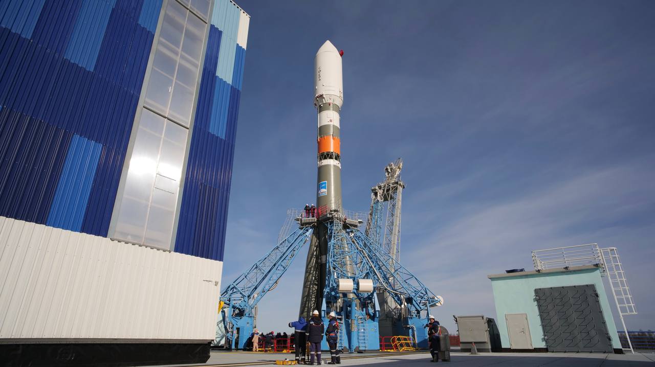
Today's highlights include the U.S. military's satellite initiative facing delays, Senate inquiries into high-profile calls, and an update on Pentagon's UFO investigations. Notable mentions also cover Morocco's defense sector ambitions.

SpaceX scrubs Crew-10 launch due to hydraulics issue; successful Falcon 9 launch for NASA missions, and Texas supports SpaceX expansion.
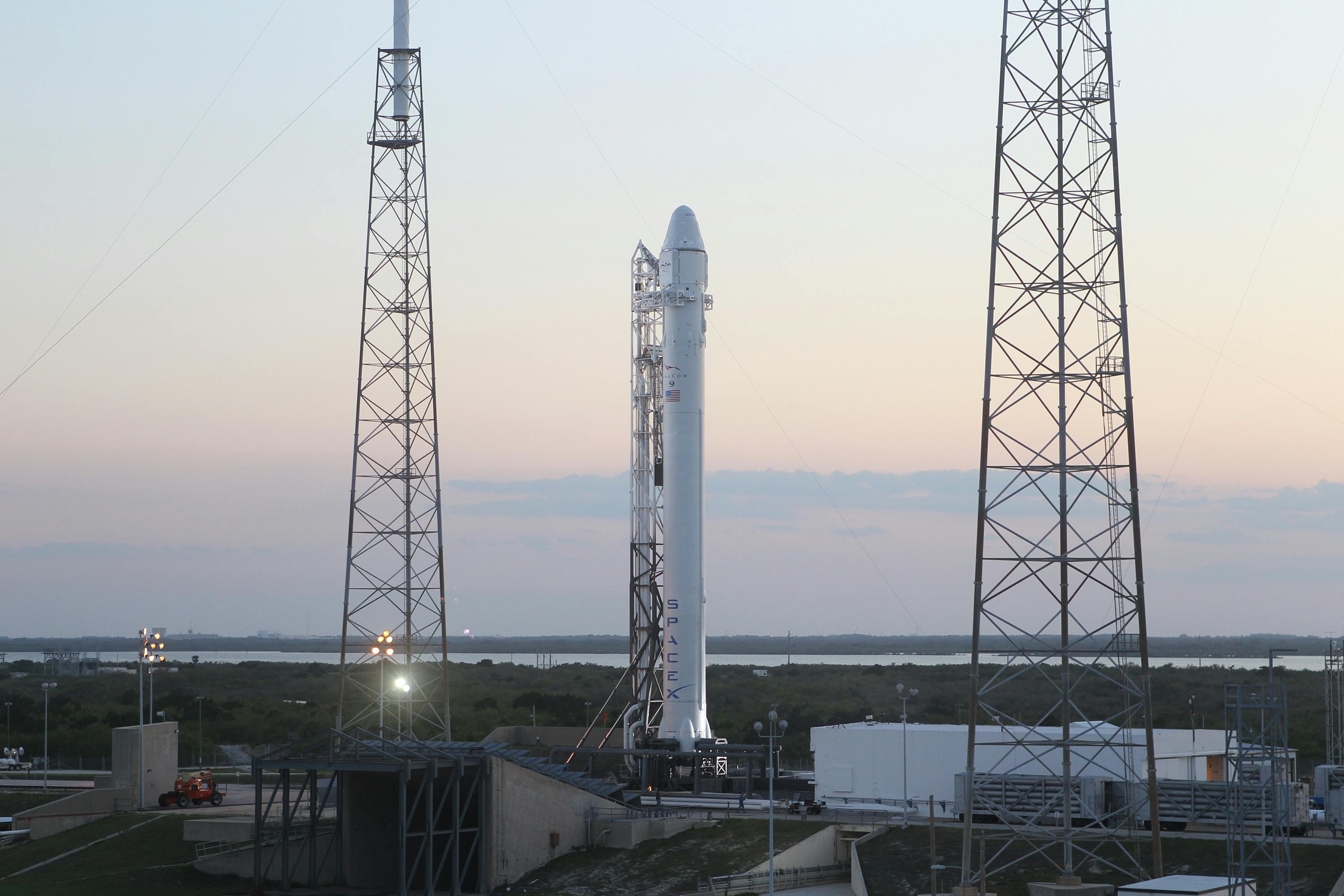
SpaceX successfully launched its 300th Starlink mission, deploying 24 new satellites to further expand its internet service coverage worldwide.
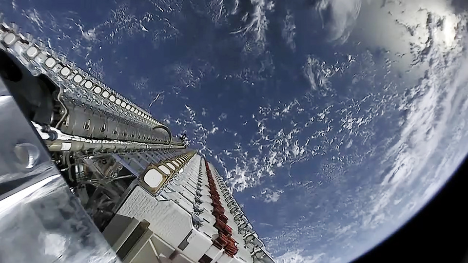
Today's space brief highlights the U.S. Space Force's new satellite naming scheme, the Air Force Secretary's warnings on China's space advances, BAE Systems' DARPA award, strategies for future space defense, the importance of GEO satellite refueling, and Blue Origin's plans for Space Force certification.

Starship Flight 12 summary: V3 reached space May 22 and survived reentry despite one Raptor vacuum engine shutdown, with most test objectives complete.
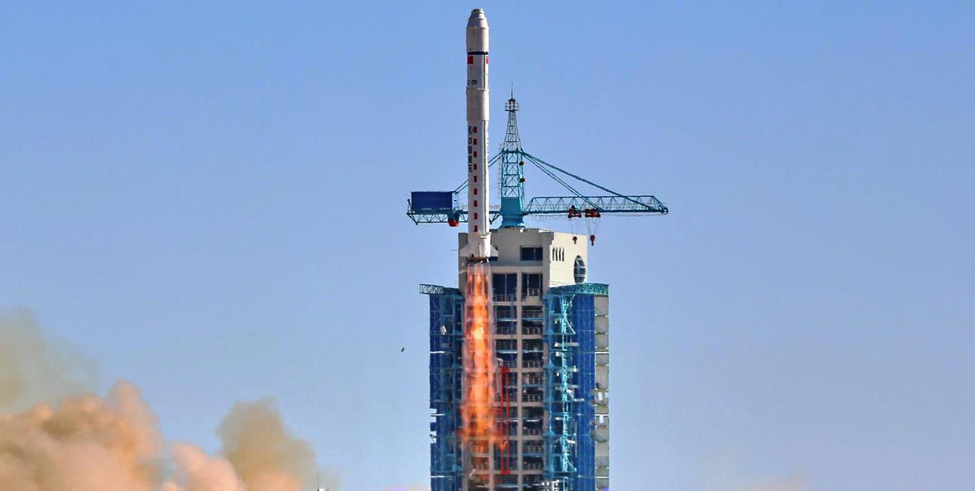
Blue Origin's fourth New Glenn rocket exploded during static fire at LC-36, Cape Canaveral, destroying the fully stacked vehicle and pad infrastructure. Amazon Leo launch postponed indefinitely.

Pentagon chief Pete Hegseth tours Rocket Lab for Arsenal of Freedom strategy. Space Force accelerates 2026 acquisitions including GPS and tactical comms. Rhea Space wins $1.9M optical nav contract.