


Space Force Requests $1.6B for New LEO Relay Network | KeepTrack Space Brief
Space Force scraps SDA transport layer, requests $1.6 billion for proliferated LEO SATCOM constellation. Roger Mason nominated to lead NRO.



Launch Date
October 14, 1999
Launch Site
TAISC
Launch Pad
LC7
Launch Vehicle
Chang Zheng 4B
NORAD ID
35320
International Designator
1999-057RY
Epoch
Fri, 03 Jul 2026 21:00:06 GMT
Apogee
Calculating...
Perigee
Calculating...
Inclination
98.27°
Right Ascension
210.68°
Eccentricity
Calculating...
Argument of Perigee
113.62°
Period
97.08 min
Mean Motion
14.83 rev/day
Latitude
Calculating...
Longitude
Calculating...
Altitude
Calculating...
Velocity
Calculating...
Name
CZ-4B DEB
Alternative Name
deb CZ-4B Y1
Type
Status
Owner
CNSA
Country
China
Constellation
N/A
Related Satellites
Major Events
N/A
1 35320U 99057RY 26184.87506948 .00004402 00000-0 54460-3 0 9993
2 35320 98.2717 210.6754 0002054 113.6204 246.5224 14.83302317 48012
Source: Celestrak
Length
0
Diameter
0
Span
0
Dry Mass
0
Launch Mass
0
Shape
N/A
Radar Cross Section
0.0115
Visual Magnitude
Unknown
Color
Unknown
Material Composition
Unknown
Payload
Unknown
Purpose
Unknown
Mission
Unknown
Manufacturer
Unknown
Life Expectancy
Unknown
Bus
Unknown
Configuration
Unknown
Motor
Unknown
Equipment
Unknown
Power System
Unknown
ADCS
Unknown
Transmitter Frequency
Unknown
Learn more about satellites and other related topics.
Space Force scraps SDA transport layer, requests $1.6 billion for proliferated LEO SATCOM constellation. Roger Mason nominated to lead NRO.
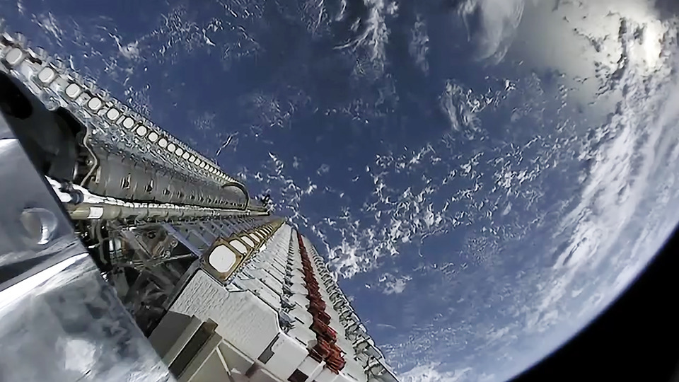
Today's Space Brief covers significant satellite launches by SpaceX, an automated collision avoidance system development, Rocket Lab's strategic acquisition, and the rise of corporate-named satellites in orbit.

SpaceX continues to dominate with two Starlink launches in one day, the unveiling of its final Crew Dragon, and facing legal challenges from Mexico regarding a recent Starship incident.
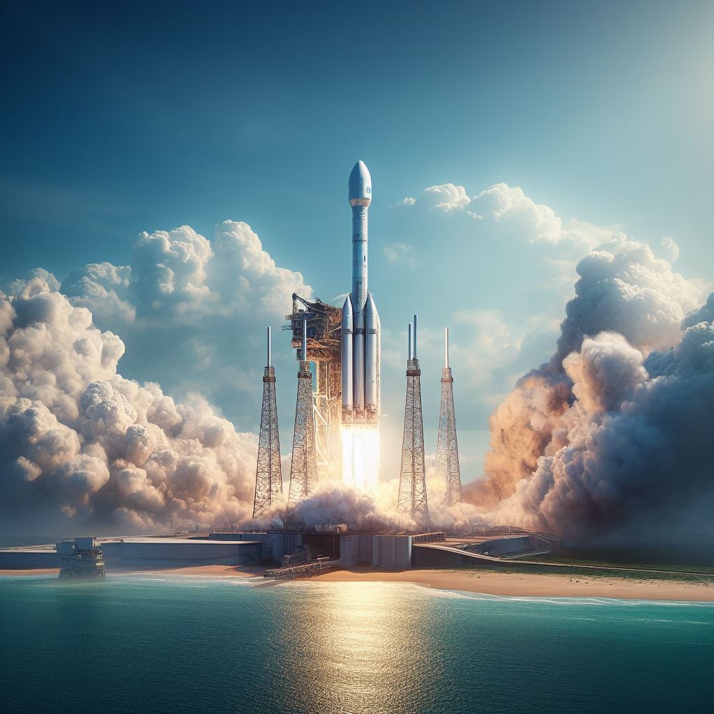
Super heavy-lift rockets are the most powerful launch vehicles ever built. They can send humans and cargo to the Moon, Mars, and beyond. But what are they, and why are they so important?

Today's brief explores a simulated 'dogfight' in space by Chinese satellites, insights into a cloud platform by Oracle and Singapore's defense agency, and more space-related developments.
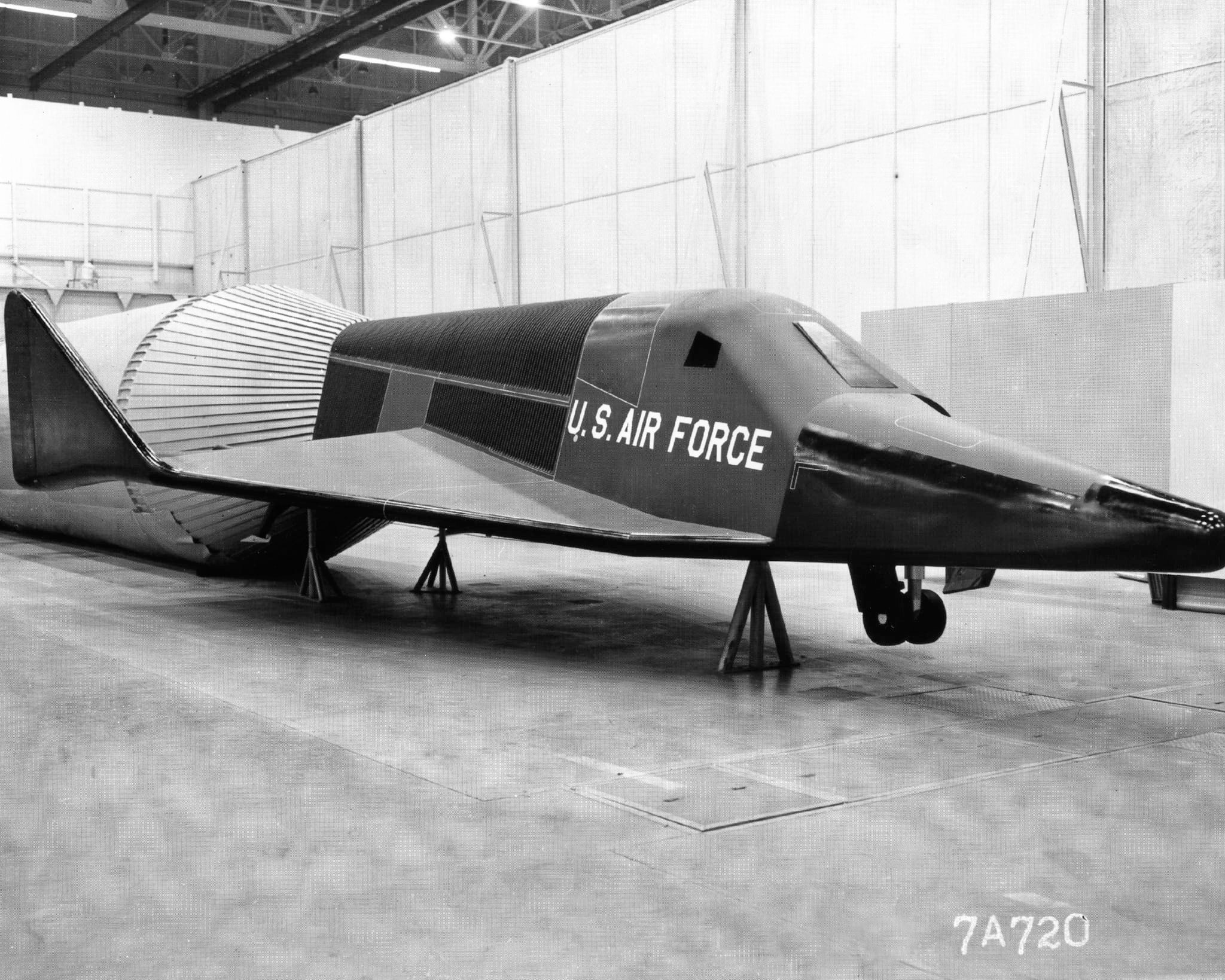
Exactly 62 years ago, Defense Secretary Robert McNamara ended the X-20 Dyna-Soar program, canceling one of the most ambitious spaceplane projects of the early Space Race - a vehicle that could have put aircraft in orbit decades before the Space Shuttle.
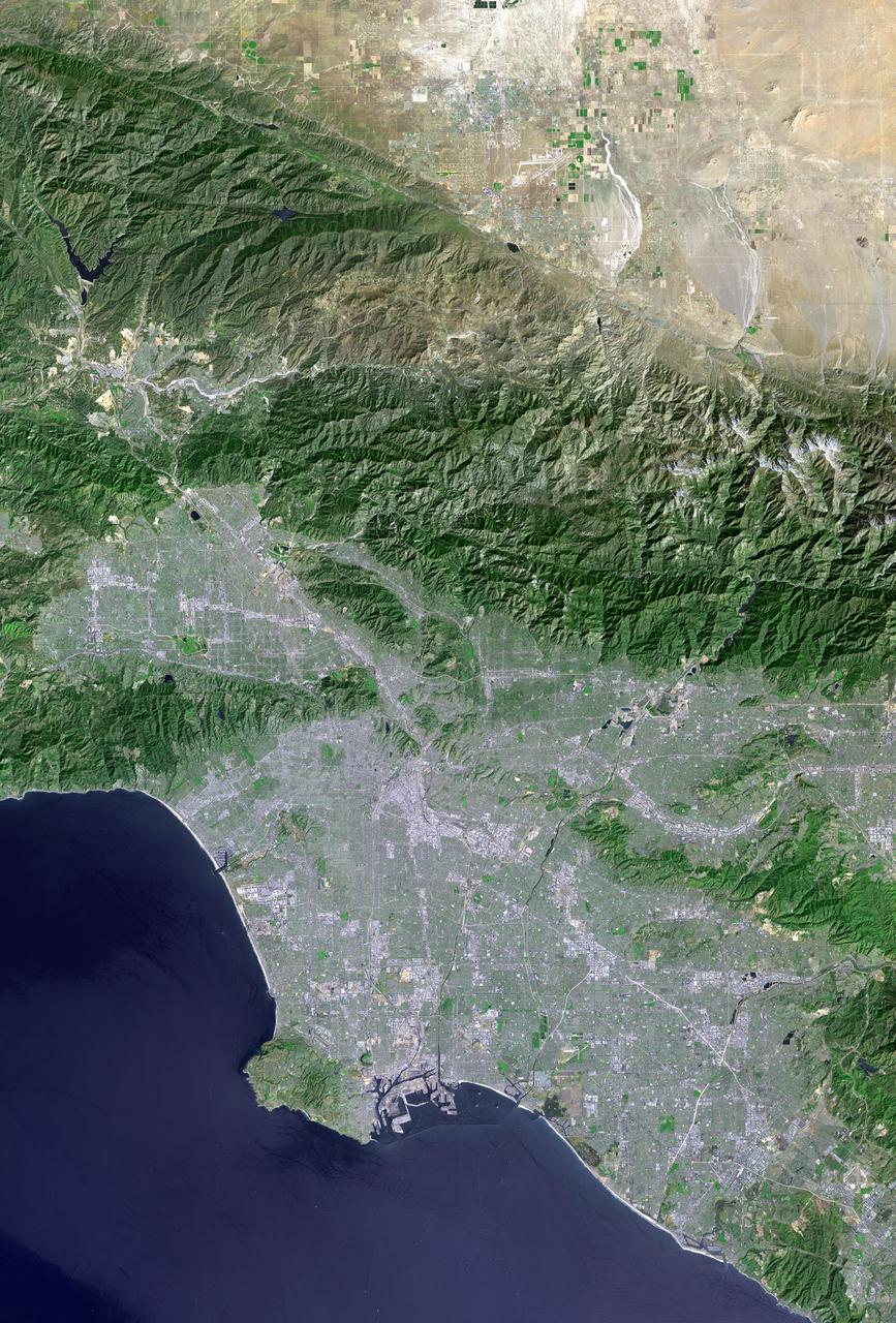
Landsat 7 launched on April 15, 1999, designed to last five years. It operated for twenty-five, survived a failure that destroyed a fifth of every image it took, and became part of the longest continuous record of Earth's surface ever assembled. Then they made the data free.
Today's highlights cover critical satellite launches including SpaceX's GPS III mission, advancements in SATCOM technology, and changes in NASA leadership.