


Space Brief 13 Apr 2025
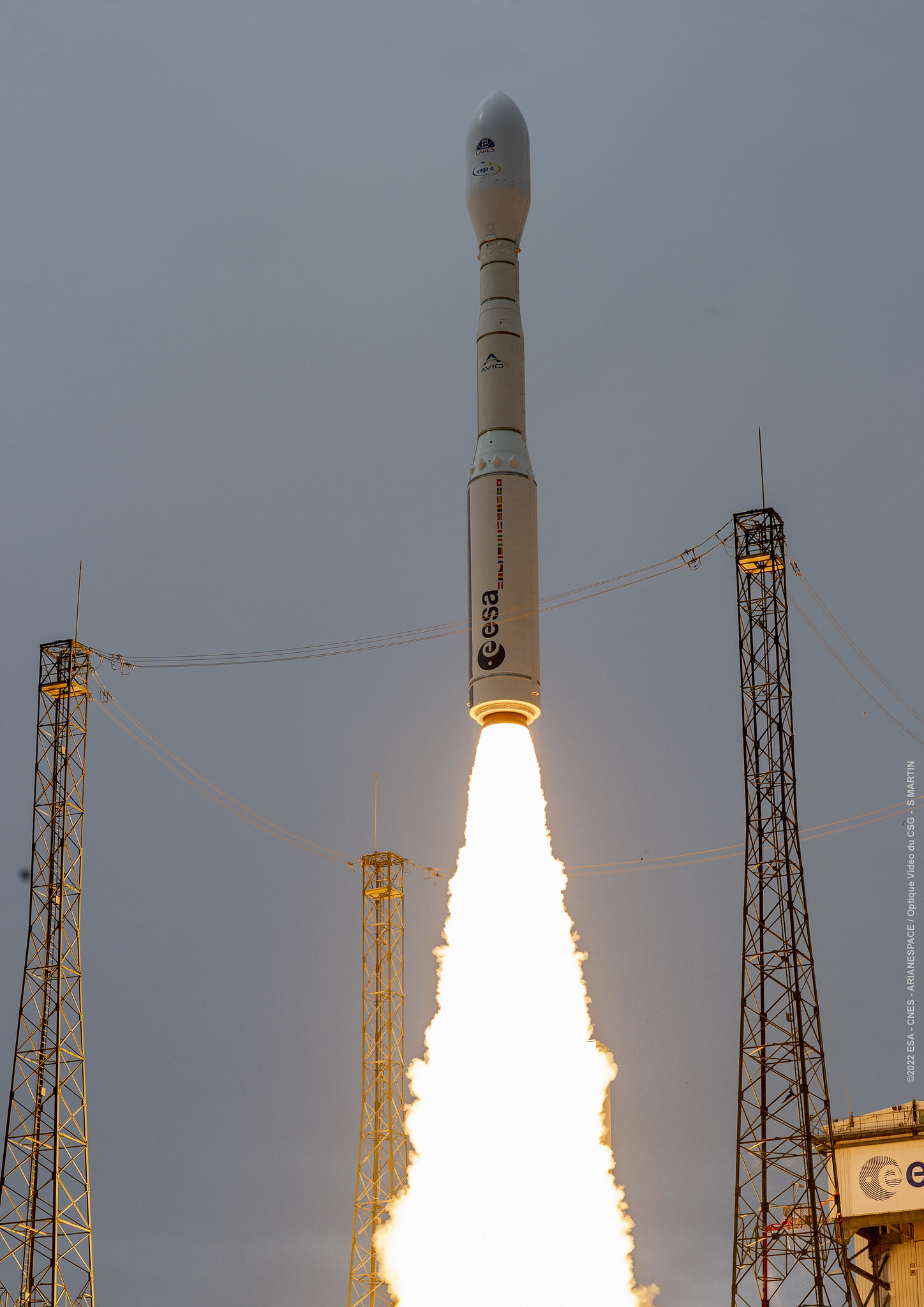
SpaceX launches a doubleheader of satellites while Blue Origin prepares for a historic all-female spaceflight. Also, meet FORMOSAT-5 in our Satellite Spotlight.



Launch Date
June 16, 1993
Launch Site
PLMSC
Launch Pad
LC132/1
Launch Vehicle
Kosmos 11K65M
NORAD ID
34007
International Designator
1993-036GS
Epoch
Sat, 04 Jul 2026 01:16:55 GMT
Apogee
Calculating...
Perigee
Calculating...
Inclination
74.02°
Right Ascension
315.00°
Eccentricity
Calculating...
Argument of Perigee
37.40°
Period
98.21 min
Mean Motion
14.66 rev/day
Latitude
Calculating...
Longitude
Calculating...
Altitude
Calculating...
Velocity
Calculating...
Name
COSMOS 2251 DEB
Alternative Name
deb Kosmos-2251
Type
Status
Owner
KVR
Country
Russia
Constellation
N/A
Related Satellites
Major Events
N/A
1 34007U 93036GS 26185.05342217 .00003756 00000-0 67588-3 0 9999
2 34007 74.0193 315.0015 0046104 37.4048 323.0314 14.66277181920589
Source: Celestrak
Length
0
Diameter
0
Span
0
Dry Mass
0
Launch Mass
0
Shape
N/A
Radar Cross Section
0.0212
Visual Magnitude
Unknown
Color
Unknown
Material Composition
Unknown
Payload
Unknown
Purpose
Unknown
Mission
Unknown
Manufacturer
Unknown
Life Expectancy
Unknown
Bus
Unknown
Configuration
Unknown
Motor
Unknown
Equipment
Unknown
Power System
Unknown
ADCS
Unknown
Transmitter Frequency
Unknown
Learn more about satellites and other related topics.
SpaceX launches a doubleheader of satellites while Blue Origin prepares for a historic all-female spaceflight. Also, meet FORMOSAT-5 in our Satellite Spotlight.
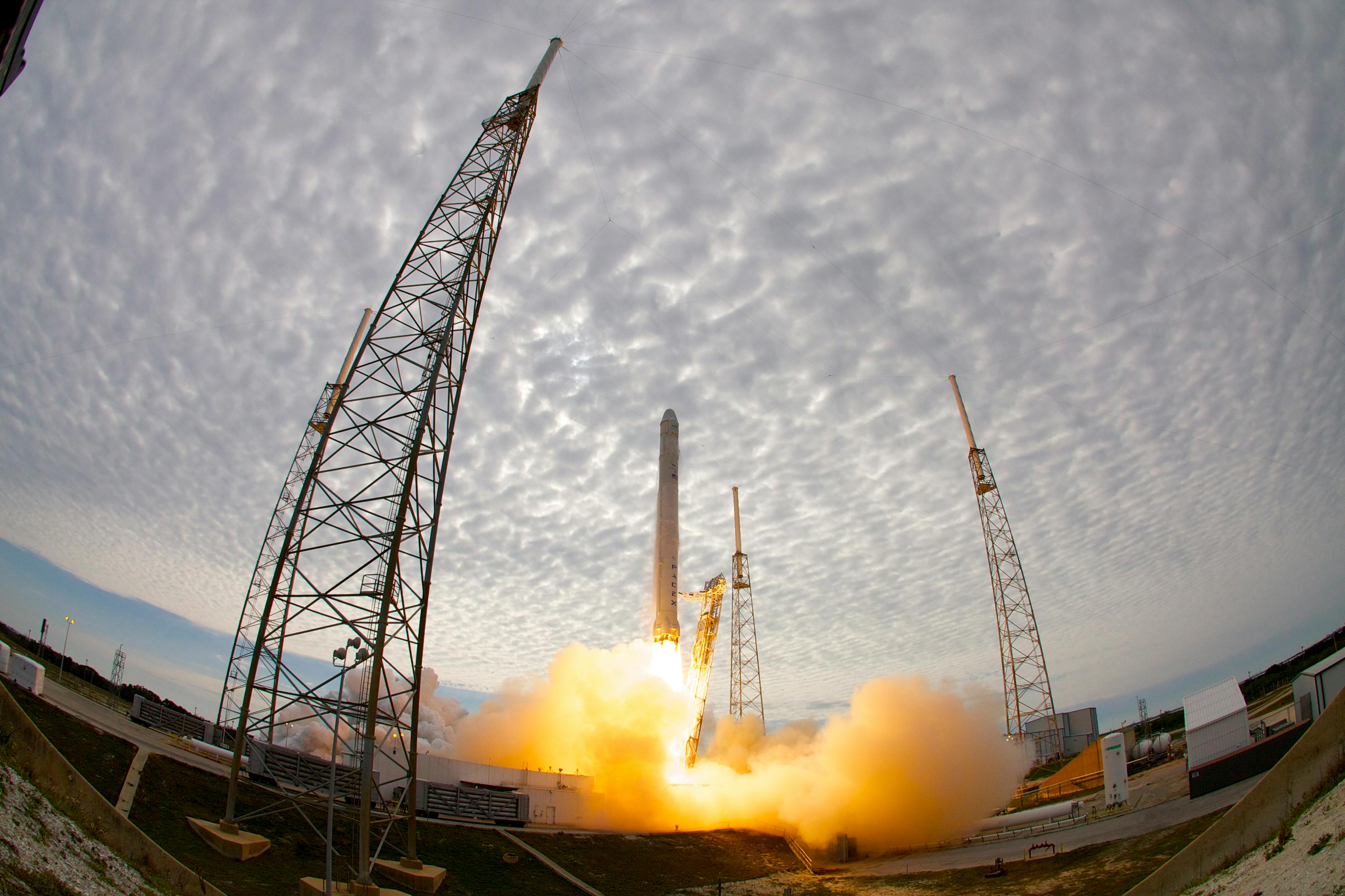
SpaceX's first Starship V3 launches May 20 on Flight 12, as Starlink's 10,354 active sats force a historic carrier alliance.

SpaceX successfully launched another batch of Starlink satellites in a night mission, marking a significant return to evening launches post-regulations.
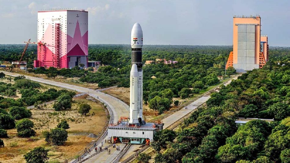
India's second spaceport solves a geometry problem. How ISRO is building a dedicated small satellite facility that eliminates the costly dogleg maneuvers plaguing polar launches from Sriharikota.

Today's briefing covers Rocket Lab's plans following a record-breaking year, efforts to recover NASA's MAVEN orbiter, and the potential relocation of space shuttle Discovery.
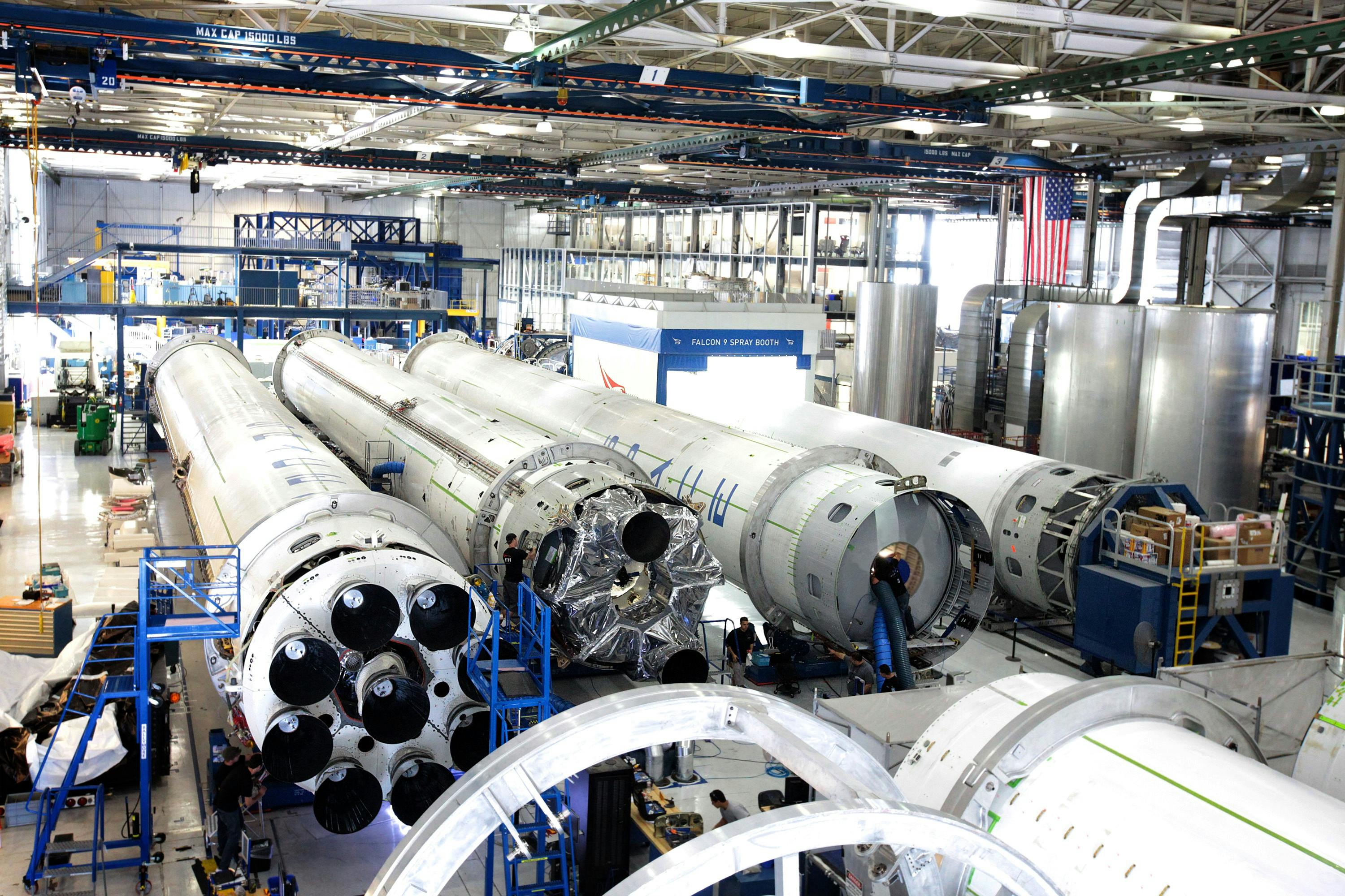
SpaceX gears up for the Transporter 14 rideshare mission, while recent Starship setbacks have not deterred plans for Falcon 9 launches.
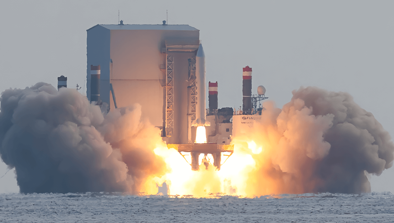
China formalized a national VLEO industry alliance with multiple satellites sustaining operations below 300 kilometers altitude. Propulsion startups attracting investment.
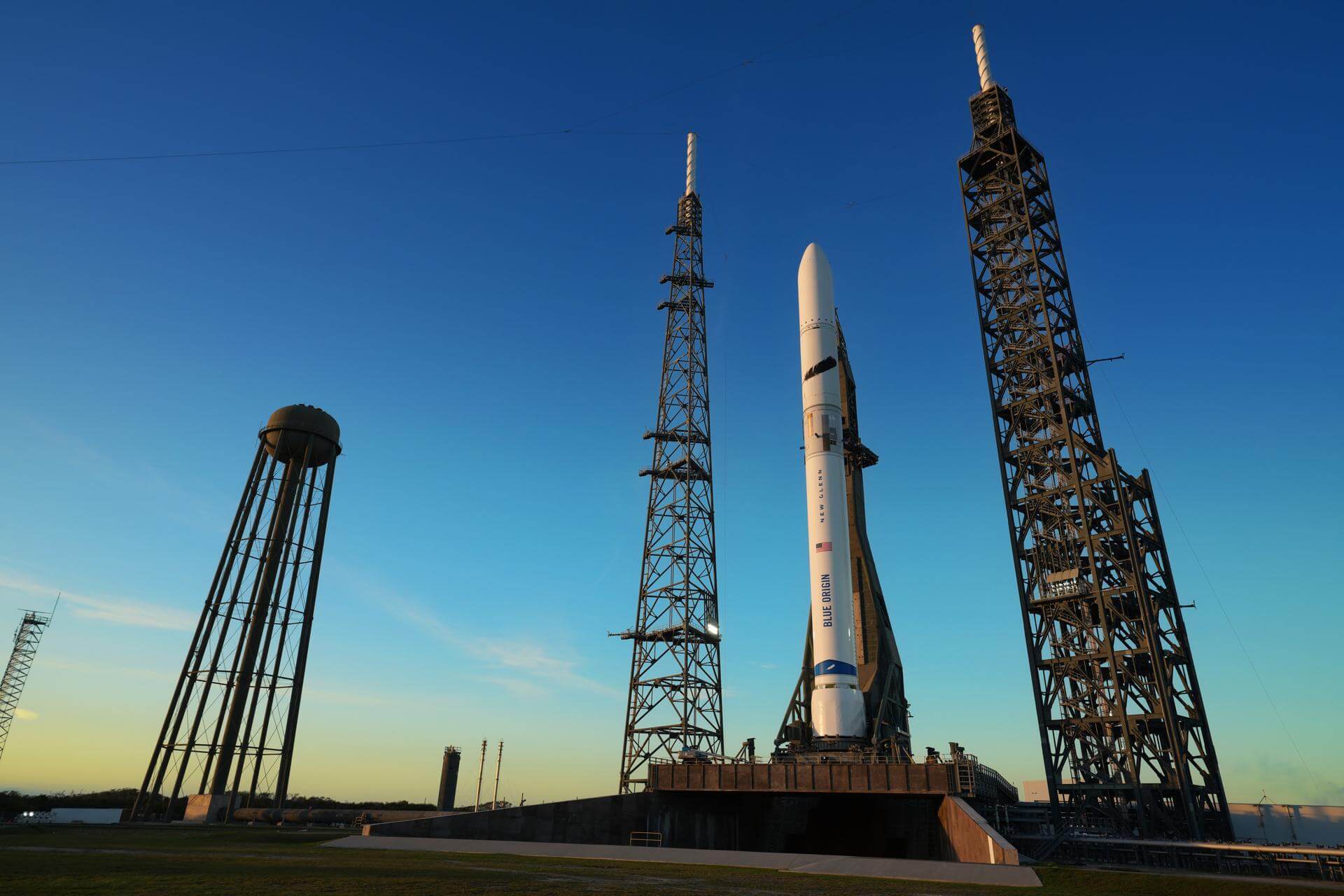
Planet Labs institutes 14-day delay on imagery covering Iran and Gulf States. Commercial remote sensing faces new operational security pressures as conflict escalates.