


Space Brief 3 Mar 2025
Historic moon landing by Firefly Aerospace, Spanish Air and Space Force advances with new simulator, and spotlight on OneWeb's communication satellite.



Launch Date
September 3, 1990
Launch Site
TAISC
Launch Pad
LC7
Launch Vehicle
Chang Zheng 4
NORAD ID
20891
International Designator
1990-081BB
Epoch
Sat, 04 Jul 2026 01:22:20 GMT
Apogee
Calculating...
Perigee
Calculating...
Inclination
98.98°
Right Ascension
213.28°
Eccentricity
Calculating...
Argument of Perigee
215.80°
Period
105.41 min
Mean Motion
13.66 rev/day
Latitude
Calculating...
Longitude
Calculating...
Altitude
Calculating...
Velocity
Calculating...
Name
CZ-4 DEB
Alternative Name
deb CZ-4 Y2 Stage 3
Type
Status
Owner
MAI2
Country
China
Constellation
N/A
Related Satellites
Major Events
N/A
1 20891U 90081BB 26185.05718556 .00000191 00000-0 24088-3 0 9993
2 20891 98.9839 213.2836 0211650 215.7986 170.0290 13.66099407778361
Source: Celestrak
Length
0
Diameter
0
Span
0
Dry Mass
0
Launch Mass
0
Shape
N/A
Radar Cross Section
0.031
Visual Magnitude
Unknown
Color
Unknown
Material Composition
Unknown
Payload
Unknown
Purpose
Unknown
Mission
Unknown
Manufacturer
Unknown
Life Expectancy
Unknown
Bus
Unknown
Configuration
Unknown
Motor
Unknown
Equipment
Unknown
Power System
Unknown
ADCS
Unknown
Transmitter Frequency
Unknown
Learn more about satellites and other related topics.
Historic moon landing by Firefly Aerospace, Spanish Air and Space Force advances with new simulator, and spotlight on OneWeb's communication satellite.

For 56 years, April 22 has been the day the world stops to look at itself. Before that was possible, someone had to invent the view. This is the story of how we first saw Earth from the outside, from a crashed V-2 camera in the New Mexico desert to the Blue Marble that still hangs on classroom walls.

SpaceX launches Maxar's high-resolution imaging satellites, Ontario reconsiders its Starlink contract, and the countdown to NASA's Lunar Trailblazer mission begins.

Today's Space Brief highlights major developments in satellite launches, regulatory milestones for spectrum sales, and the evolving landscape of space-related cyber conflicts.
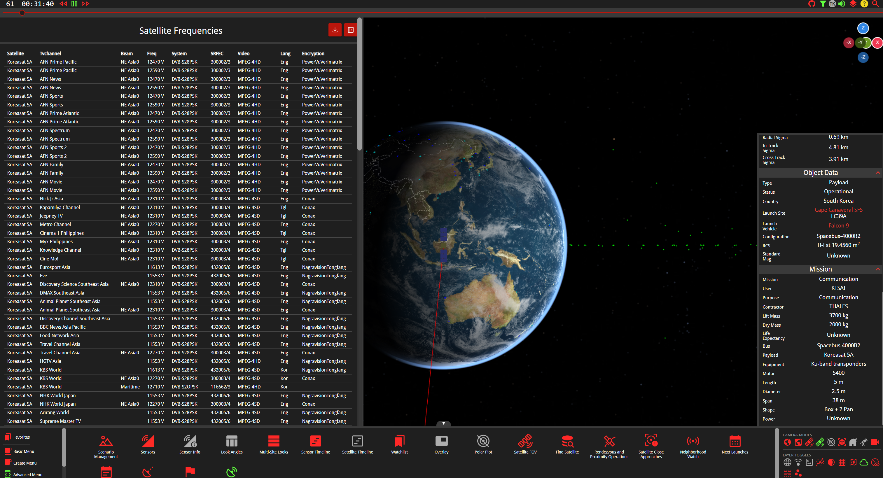
The frequency band that brought satellite TV to small dishes on rooftops and revolutionized direct-to-home broadcasting
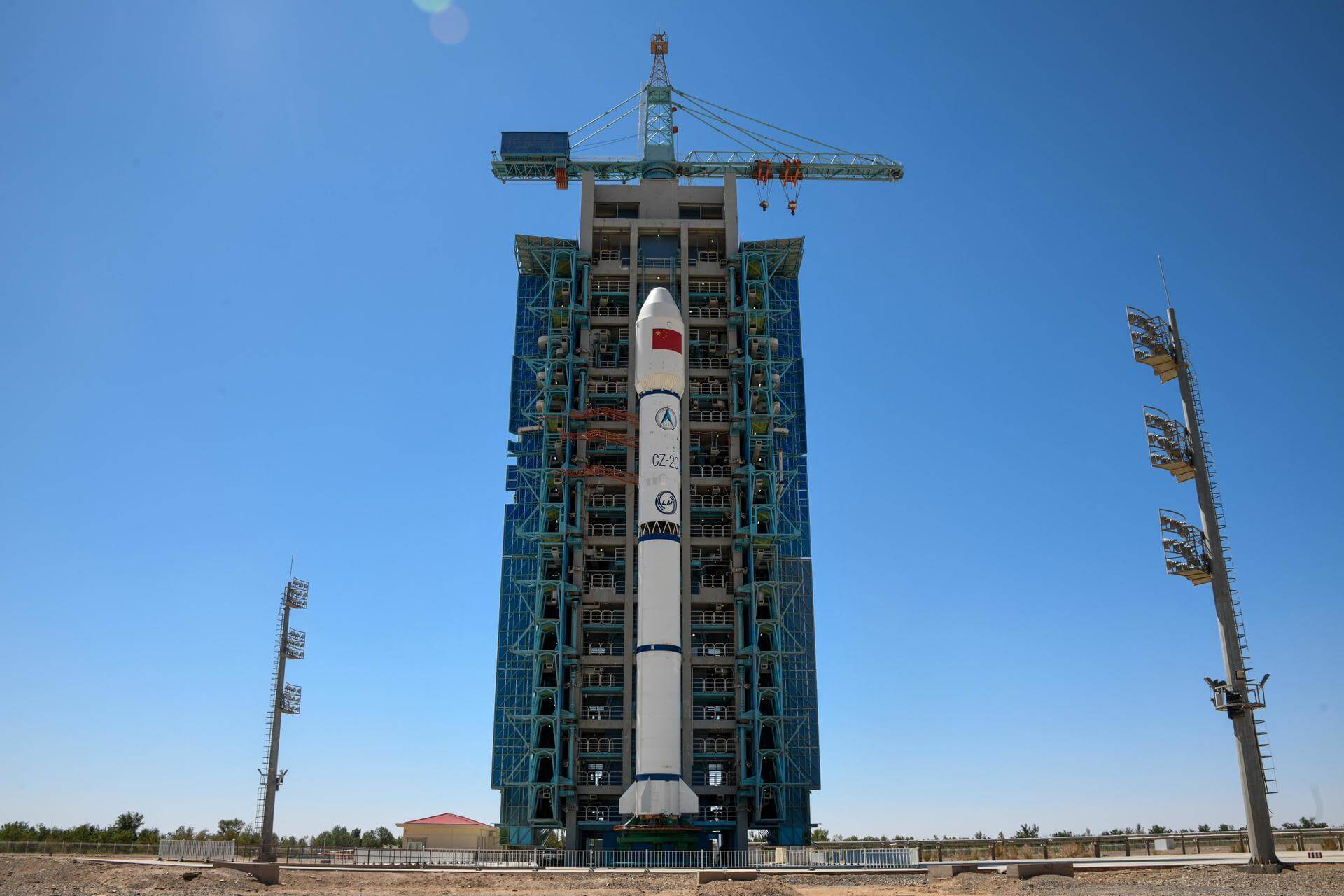
Today's brief covers the investigation into Musk-Putin calls, SpaceX launch restrictions impacts, Pentagon's space investment strategies, ABL Space's pivot in focus, and Israel's defense export developments.

NRO awards three commercial data contracts and explores vetting satellite firms for airborne target tracking via U.S. Space Force. Strategic expansion of GEOINT capabilities.
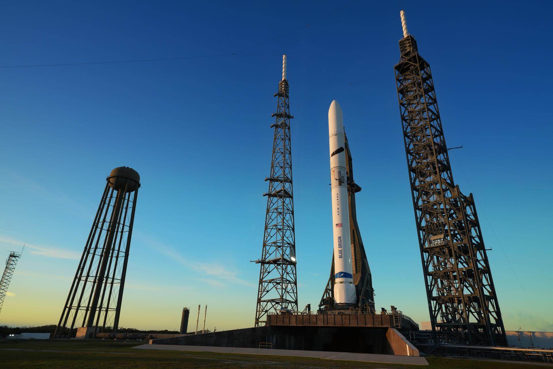
Planet Labs institutes 14-day delay on imagery covering Iran and Gulf States. Commercial remote sensing faces new operational security pressures as conflict escalates.